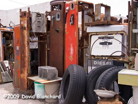
Gas pump depot, Pine Bluff, Wyoming.
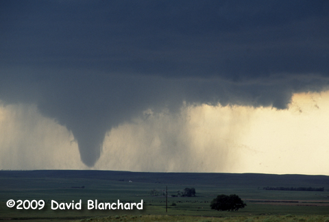
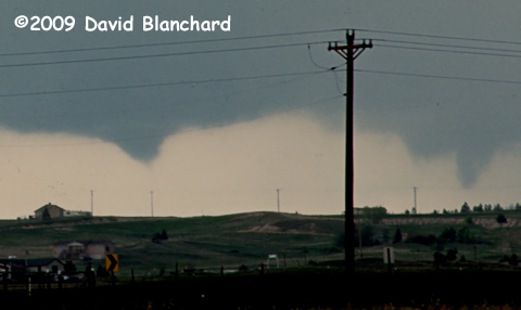
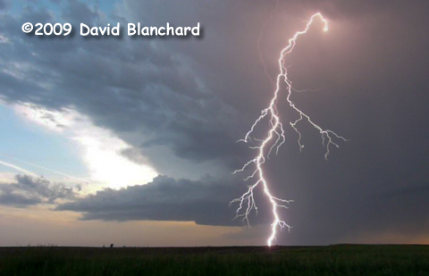
Goshen County, Wyoming, tornado.
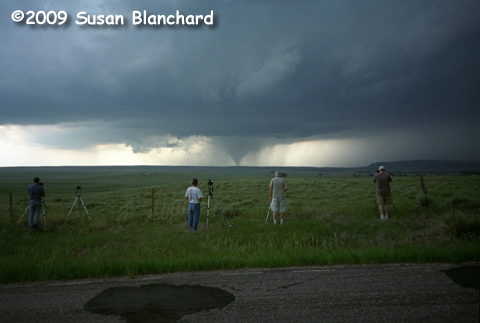
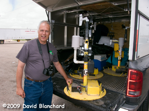
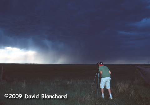
Photographing the photographers (Blanchard, Hodanish, Crowther, Bell).
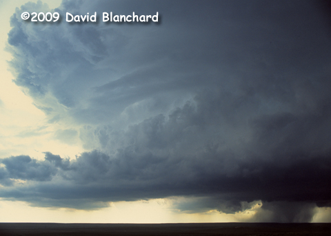
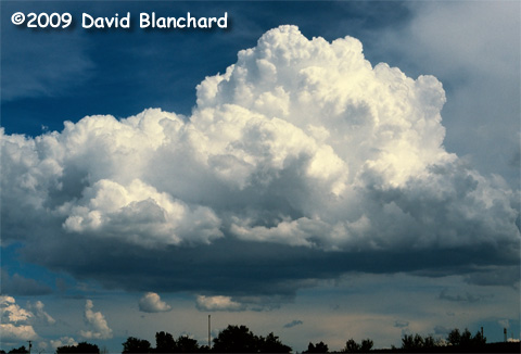
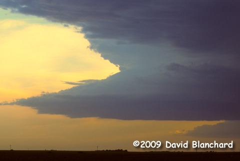
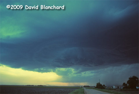
Goshen County, Wyoming, supercell and tornado.
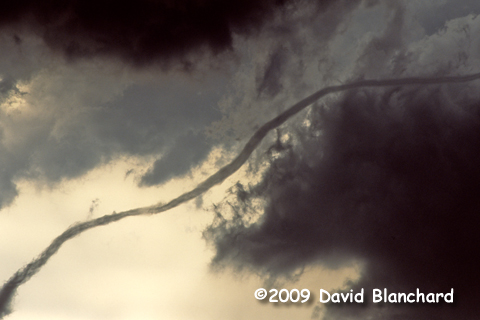
Goshen County, Wyoming, tornado.
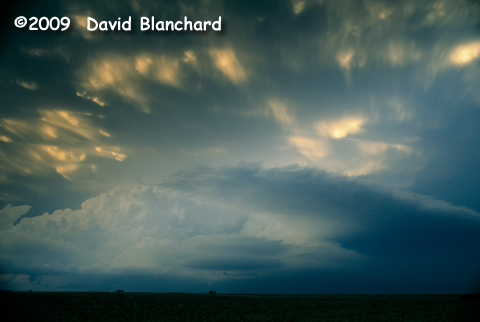
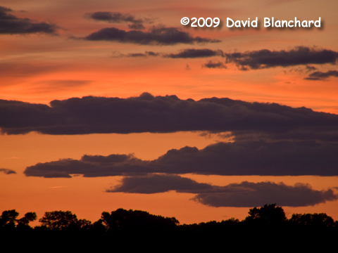
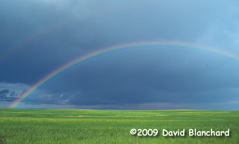
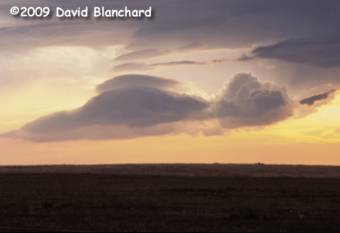
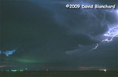
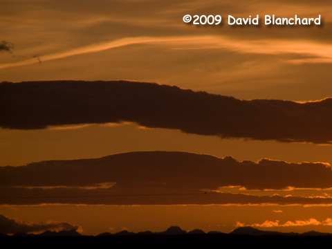
Supercell at sunset, Nebraska.
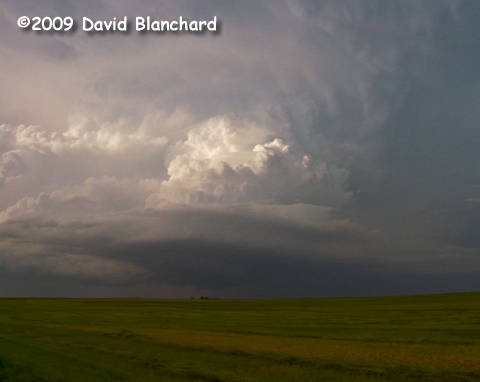
Supercell at sunset, Nebraska.
|
We are again chasing with Matt and Scott.
Target for today is the 3-corners region of WY/NE/CO and northward. We
arrived at Pine Bluff, Wyoming, early in the afternoon and stopped to
look at data and to wait for convection to develop on the higher terrain
of the mountains in eastern Wyoming.
There is a service depot for old gasoline pumps in Pine Bluff and the
collection is worthy of a photograph or two.
Steve Hodanish joined us in Pine Bluff.
As convection developed we moved north from Pine Bluff on WY215. After
passing through Albin, we continued a few miles more on Albin-LaGrange
Road while observing a new storm to our WNW. Other storms farther north
were moving NE and were likely putting down cold outflow. It was our
hope that this new storm would roll more to the E or ESE along this
boundary. And, more or less, that is what happened.
We found a great vantage point with off the road parking and a clear
view to the west and began photographing and videoing the storm at least
15–20 minutes before the tornado developed. Consequently, we have
some excellent documentation of the structural evolution prior to
tornadogenesis. Eventually we had to abandon our location because rain
from the forward flank and lightning were getting too close. We dropped
south a few miles and found some more off road parking and once again
set up to photograph and videotape. We saw the tornado emerge from its
rain-wrapped phase and then enter the long-lived rope phase from this
location.
This was a Top–5 tornado and supercell event for me because of:
- Correctly identifying the target area and arriving with plenty of
time to observe before the tornado developed.
- Excellent viewing location with unobstructed views, great
foreground, and excellent scenery.
- Watching the evolution of the storm from pre-tornadic through its
demise.
- Duration of tornado.
- Fabulous structure—and changing structure—of the tornado.
- Excellent photography with 28mm wide angle and 80-200 mm zoom, plus
time-lapse video with a 28mm wide angle lens.
After the demise of this long-lived tornado, we began to move eastward for any new development that might occur. We saw a brief, weak funnel but no additional tornadoes.
As the day came to an end and the boundary layer began to cool, the
low levels of the storm became more laminar and we took advantage of the
excellent late-afternoon lighting to photograph this amazing storm.
Late in the day, I had a chance to chat with Erik Rasmussen, FC for VORTEX2, and let him know of the photographs and video we captured in the event they might be useful in the VORTEX2 analysis of this storm.
|