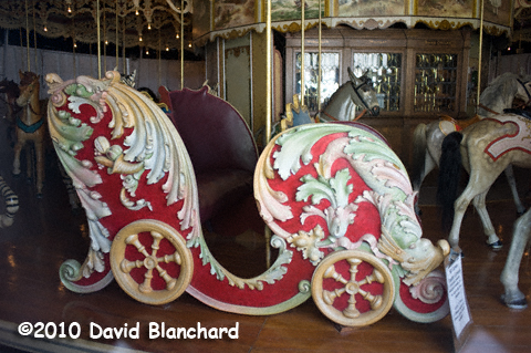
 Carousel at Kit Carson County Fairgrounds in Burlington, Colorado.
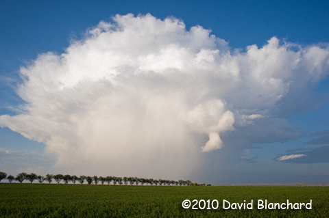
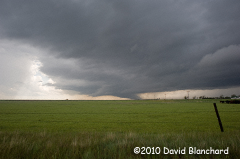
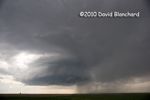
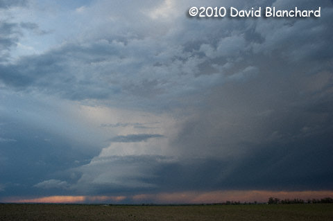
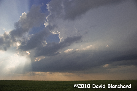 Supercell developing northwest of Tribune, Kansas.
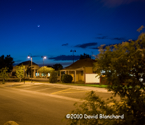
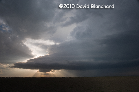
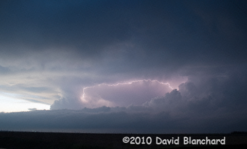 Lightning at twilight in a supercell northeast of Goodland, Kansas.
|
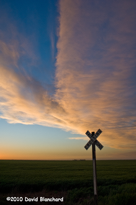
During the night a cold front pushed southward across northwest Kansas leaving the area in a cool, dry northerly flow. That should change this afternoon as a surface low is forecast to develop in eastern Colorado. The isallobaric pressure field should cause the winds to become easterly or southeasterly during the day with moisture returning northward.
I drove west from Colby, Kansas to Burlington, Colorado to meet Matt and Betsy who are driving eastward from Denver. Our designated meeting place was the Kit Carson County Fairgrounds where an old carousel is housed. Unfortunately, the carousel was still closed for the season and will not open for another week so I had to be content to photograph it through a window.
From Burlington we traveled south to Sheridan Lakes, Colorado then east to Tribune, Kansas where we watched convection develop to our south on the leading edge of the returning moisture. We moved northward to Sharon Springs, Kansas then dropped back south to intercept the western storm and followed it back to Sharon Springs.
Other storms were developing to our east and we went east as well but eventually decided that our original target was still the better choice. So we went back west to Sharon Springs and then north.
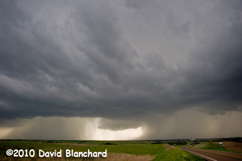
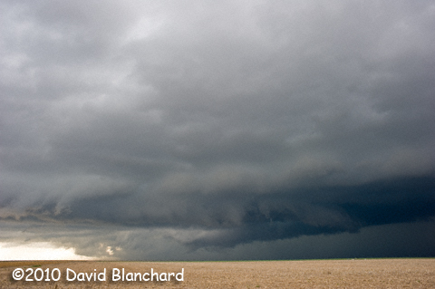
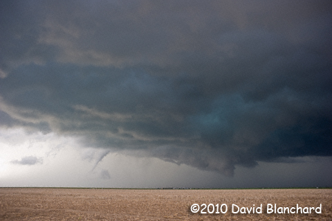
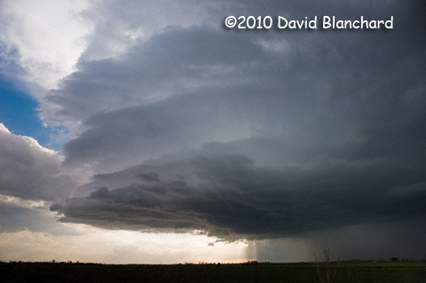
By this time, the storm was becoming a very organized supercell and we began to look for opportunities for photography and to carefully watch for tornadoes. Shortly before 8 p.m. MDT, we saw a brief tornado to our northwest while were about 5 miles south of Goodland. Me? I was fumbling around with my camera tripod and missed the brief touchdown.
It was rapidly getting dark and we drove to Goodland and then eastward onto I-70 where we briefly saw another tornado as it was illuminated by lighting flashes. A few miles farther east we stopped for some lightning photography.
Then it was back on the road to Colby, Kansas and dinner at the Village Inn. At the VI we ran into many of the VORTEX2 crew which explains why most of the motel rooms in town were already booked. Luckily, we had made reservations earlier in the day at a small "Mom and Pop" type establishment. Inexpensive, clean, and comfortable. Who needs more than that?
|