It was a classic spur-of-the-moment decision to visit Chiricahua National Monument in southeast Arizona. Neither of us had any plans for the next few days so off we went. We made online reservations for the last remaining spot in the campground before departing Flagstaff.
It’s a long drive to to CNM—especially if you take secondary highways and avoid the Interstate as much as possible. We arrived in late afternoon to pleasant temperatures and quickly set up camp. There were evening programs about the “Buffalo Soldiers” who had been stationed in the Chiricahua Mountains for a period of time on our first night; on the second night it was a talk about the Apache culture.

We only had one day for hiking and decided to do the Chiricahua Canyon Big Loop. With some of the side trails that we did the total hiking for the day was close to 10 miles. There is a lot to see on this grand loop.
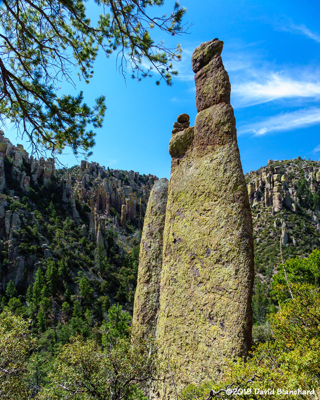
As with most landscapes, the best time of day for photography is the “Golden Hour.” We started after—and ended before—the Golden Hour so photographs were taken in the harsh midday sun. Still, the rock formations in the park are very interesting even when they aren’t particularly photogenic.
From the AmericanSouthwest web site:
The formations at Chiricahua are similar in size and shape to the sandstone spires of Bryce Canyon and Cedar Breaks in Utah, although without as much color – the rocks are grey or brown, but often with a covering of bright green lichen. They were formed by erosion of compacted pumice and ash, resulting from a huge eruption around 27 million years ago. The 1.1 mile Heart of Rocks Loop route winds through some of the most impressive groups which include several examples of balanced rocks – boulders perched precariously on top of much thinner supporting columns.
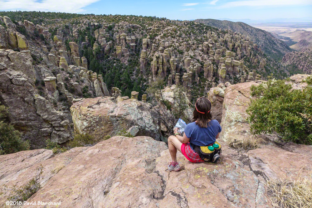

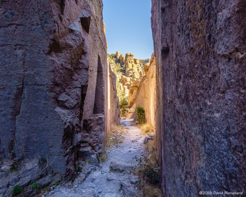

By late afternoon, we had reached the more popular portions of the loop trail (Echo Canyon and Wall Street) and the shadows were getting longer resulting in more interesting photographs.
And that was it—two days of driving for a day of hiking. It was worth it.