Powder skiing in the Kachina Peaks

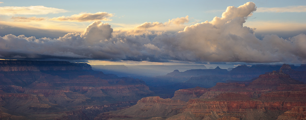
After a fairly unusual late Fall and early Winter—in which we were far more likely to have rain than snow—“Real Winter” showed up and made a powerful statement. The six-day storm total for snow in Flagstaff was 36+ inches which allowed this event to slip into the Top 10 multi-day snow events.

The downside to such an event, of course, is dealing with snow removal. No sooner would we clear the driveway and sidewalks than a snow plow would throw a 3 to 4 foot berm of hard snow on the driveway. Sigh. Does this qualify as a “Sisyphean Task?”

Driveway and sidewalk are cleared. But what about the street?

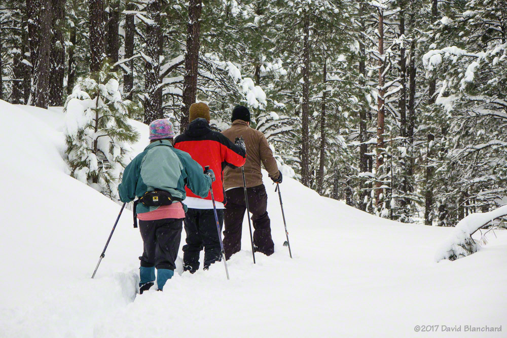
Enough work. Time for play. And so we headed for the San Francisco Peaks and the Kachina Wilderness for some backcountry skiing. The peaks received in the neighborhood of 7–8 feet of new snow. Dreams of deep powder motivated us!

Breaking trail through new snow on the lower sections of Humphreys Peak Trail.

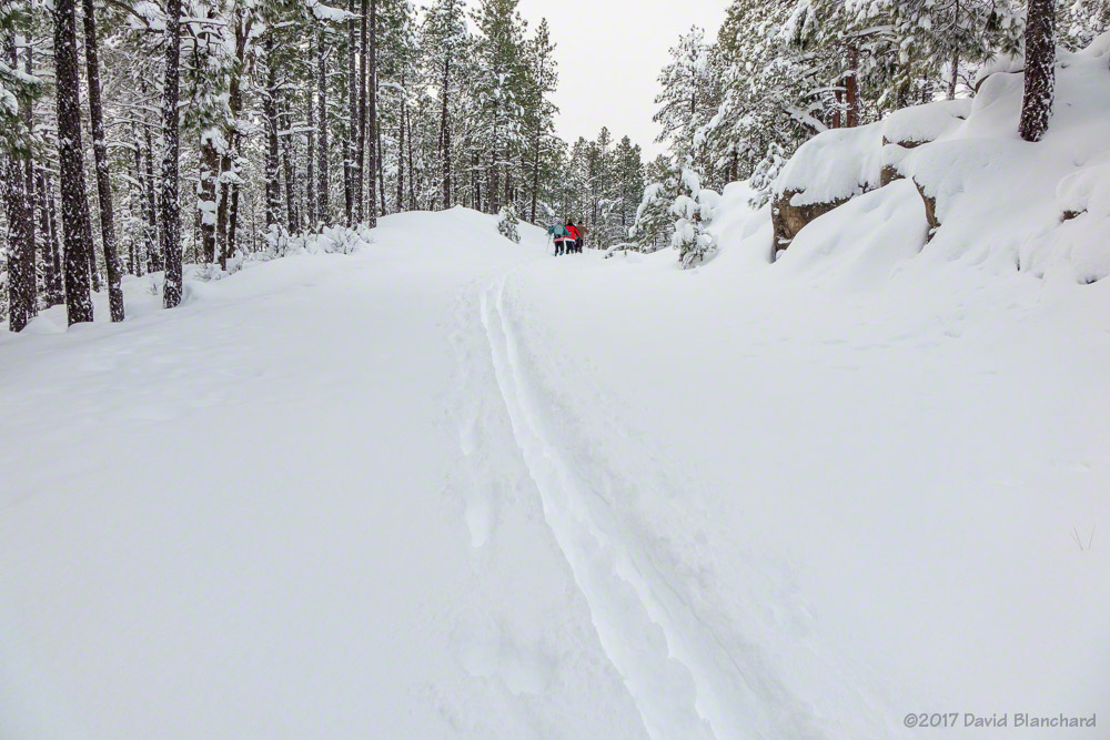
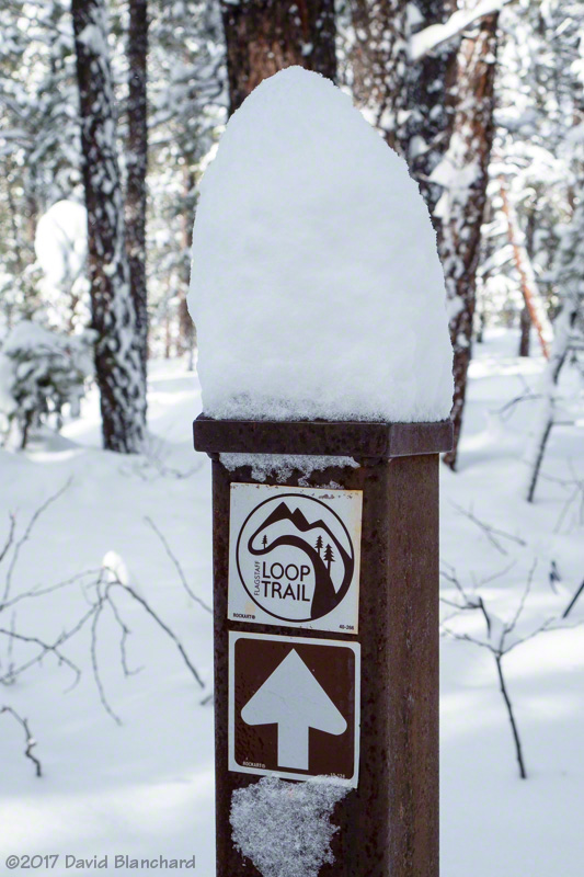
We arrived at the Arizona Snowbowl ski area lower parking lot and headed towards the Humphreys Peak Trail. We broke trail through the deep snow—and only veered off the trail once—for about a mile before picking up an established ski track from downhill skiers. This provided a much easier route. We broke off from the trail and followed a set of ski tracks up to the area known as Flying Dutchman.

Powder! And no other skiers. At least, not yet!

This area had already seen a fair bit of ski activity and the snow cover was carved up. We wanted fresh powder so we continued up through the trees—once again breaking trail through deep snow. The trees vary here from tightly packed to open glades and skiing down requires navigating from open glade to open glade and minimizing the trees. Easy to say—harder to do.

Heavy riming on the trees.

We continued up to the B-24 bomber crash site where we decided to stop. Above this point the trees thin out quickly and the threat of skier-triggered avalanches was present. We had lunch, peeled climbing skins off our skis and headed down. We had gained almost 2100 vertical feet since leaving the car and it was time to convert all that potential energy into kinetic energy.

Rime coats the landing strut of the B-24.
This image from 2013 shows the landing strut without rime.

At this elevation (~11,400 feet) there had been significant riming on the trees. So much rime had accumulated on the branches and needles that the trees looked like large heads of cauliflower. Rime had also accumulated on the upside-down landing gear of the B-24. This is the only piece of wreckage that is visible in the winter. Everything else is buried.

View towards Arizona Snowbowl and, in the distance, Camp Navajo.
Tree fall above the trail. Numerous trees toppled in the major windstorm on December 16, 2016, when winds exceeded 80 mph on the peaks.

There are not many pictures of the downhill descent. Too much fun to stop and take photos!

Fort Tuthill ski day

After an early winter of mostly rain across northern Arizona, big snows have finally arrived. Two storms in three days delivered about two feet of snow on the south side of Flagstaff with lesser amounts on the north side. I live on the south side. So we have had a lot of snow to shovel off the driveway plus the piles of snow that the snowplows leave. Yeah, lots of work.

But we did find time to get out and ski. Normally, we do trail runs on Saturday mornings with Northern Arizona Trail Runners Association (NATRA). But when there is more snow than trail we switch to snowshoes or cross country skis.

So we found ourselves with a handful of other runners out at Fort Tuthill early Saturday morning. The roads in the county park were already plowed making entry easy. There is a new “snow play” area in the park so getting the roads and parking cleared quickly is a new priority.

And off we go following the Soldiers Trail in a clockwise direction. Very quickly the runners found the snow too deep so they opted to run along the plowed roads in the area. The remaining four skiers traded the lead often because breaking trail through this much snow is a bit of a workout.

Breaking trail at Fort Tuthill.
Ski tracks at Fort Tuthill.

We worked around the south side where the trail follows the old logging railroad grade. Then the trail curved around to the west side of the park where we could quickly see how forest thinning has made a big improvement on the health of the forest. Finally, we found ourselves at the trail intersection of the Flagstaff Loop Trail in the northwest corner of the park. This was as good a turnaround spot as any.

Intersection of Soldiers Trail and Flagstaff Loop Trail.

The ski back was significantly faster than the outbound trip had been because we now had a nicely packed trail to glide on. We arrived back at the parking area just about the same time as the runners.

Another winter storm is on the way with up to a foot of snow possible. Winter has finally arrived.

Mountain biking in Sedona — Early Winter edition

It has been a wet December and January with rainfall amounts running well above average across much of Arizona—including Sedona. So we haven’t been riding quite as much as we would like as trail etiquette is to not ride wet and muddy trails because of the potential trail damage.

Still, we’ve managed to get in a few good days with only a bit of mud and snow on the trails.

View of the Cockscomb from Western Civilization Trail.
Narrow tread on Last Frontier.
Soldiers Wash trails.
Courthouse Butte trails.
Aerie Trail on Doe Mountain.
Aerie Trail.
Aerie Trail.

Another round of wet weather has arrived and trails will be getting rain and snow over the next few days. It may take awhile before we have dry trails again!

Lagoon Nebula and other objects in the Night Sky

Back in late summer, Ā I had a chance to capture multiple long-exposure images of a portion of the Milky Way that is rich in star clusters, nebulae, and dust clouds. I had seen some online images of theĀ Lagoon Nebula (M8) and was certain that it was bright and large enough to capture with a DSLR camera and small telephoto lens.

A small portion of the Milky Way.

The image above is a stack of 11 photographs. Why stack multiple images? Single exposures of the faint details in the night sky will usually have a lot of noise. Stacking multiple exposures will help eliminate random noise in the image and improves the overall signal-to-noise ratio. Even Hubble Space Telescope stacks images!

These images were shot at ISO 800, 60 second exposure, and f/2.8 aperture. The lens is the Nikon AF-S NIKKOR 85mm f/1.8G. The camera was mounted on anĀ iOptron SkyTracker. Image stacking was done usingĀ Deep Sky Stacker. The stacked image was then post-processed in Photoshop using theĀ Astronomy Tools Action Set.

The other Messier objects in this image include:

Milky Way with Messier Objects.

The image below is a screen shot from the free and open-source application StellariumĀ and shows the approximate location of the images above.

Screen capture from Stellarium showing Milky Way.