Fall has arrived in northern Arizona and the leave are turning colors and, in some cases, have already fallen. We went on a mountain bike ride on one of our favorite section of the Arizona Trail the other day so that we could view the aspen trees in their autumn glory. A cold front had passed through a day earlier and it was quite cold that morning with temperatures only in the upper 30s. So we bundled up with a few extra layers, caps and gloves, and off we went.
Riding the Arizona Trail at 8000 feet elevation and 38 degrees Fahrenheit. All you have to do is bundle up!Riding an easy stretch of the Arizona Trail. The aspen leaves have fallen and left a carpet of color on the trail.
The only problem was that the rain from a few days earlier had left the trails pretty muddy and with the cool weather they had not dried yet. Suddenly we found our tires and bikes caked with mud. Eventually it became too difficult to ride as the mud accumulated on the tires, in the brakes, derailleurs, and anywhere else mud can collect. And that’s a lot of places!
A grove of aspen trees in full autumn color on the San Francisco Peaks.
New snow on the higher elevations of the San Francisco Peaks stands in contrast to a grove of aspen in full autumn color.
So we abandoned the ride to return another day. Still, it was a pleasant enough day with plenty of color to view in the aspen trees in Flagstaff at 8000 feet and 38 degrees–especially with the new snow on the San Francisco Peaks.
While tornadoes are not as common in Arizona as in, say, the mid-western United States, neither are they rare. In an average year, about six tornadoes are reported in Arizona. It’s a near certainty that this number is an undercount of the actual number of tornadoes that occur. Because much of Arizona is sparsely populated, it’s possible — likely, even — that many tornadoes are not seen and thus, not reported.
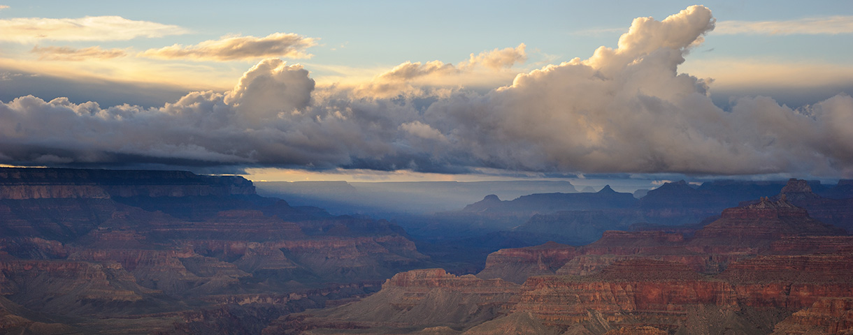
So, while it may seem like the tornado outbreak in northern Arizona that occurred on October 6, 2010, was an extreme event, we can not be certain that it was. We can only be certain that it was one of the most extreme “reported” events.
At least eight tornadoes have been confirmed. Based on a review of the Doppler weather radar data there is a reasonable probability that additional tornadoes occurred in the vast Ponderosa forests of northern Arizona and the damage paths have not yet been noted and surveyed. While conducting a formal damage survey on October 7 and 8 for two of the already confirmed tornadoes, we found additional tornado damage paths that had not yet been previously identified.
Recent research has identified a repeatable weather pattern that is responsible for a significant fraction of tornadoes in northern Arizona. As that weather pattern began to develop, warning forecasters began to carefully monitor Doppler radar looking for signatures of severe thunderstorms. And when these signatures appeared, they quickly issued Tornado Warnings. It is almost certain that these warnings minimized injuries in the paths of these tornadoes.
Damaged homes from the Bellemont, Arizona, tornadoes on October 6, 2010.Flattened forest of Ponderosa Pine in northern Arizona from the tornadoes on October 6, 2010.Forest Service crews quickly cleared treefall from Forest roads.
Some of the research on tornadoes in northern Arizona can be found at these links sponsored by the American Meteorological Society:
Back in August we took a vacation to California to do some mountain biking. On the first day, we traveled across Arizona and Nevada at a leisurely pace. It was our goal to reach some national forest lands and find a Forest Service campground for the night. Didn’t work out that way. We ran out of daylight long before we reached any forest lands so as twilight was settling in we started driving down secondary roads and then dirt roads until we were able to set up a quick campsite for the night.
The spot we chose was far enough from the highway and other roads that we heard and saw no traffic and we felt like we were in the middle of nowhere. To our west were the White Mountains and Boundary Peak, the highest mountain in Nevada. To our south was the small community of Fish Lake Valley. What a beautiful location!
For the remainder of the trip we stayed in busy Forest Service campgrounds or motels. None of them can compare with the delightful solitude of this location.
Time to get up! Dawn of a new day in the high deserts of western Nevada.High desert camping in Nevada with early morning light on the White Mountains to our westEarly morning light on the White Mountains in Nevada.
In another post I’ll talk about the highlights of that trip.
The past few weeks have produced some very fine late summer weather across northern Arizona. Warm days…cool nights…light winds…and clear blue skies day after day.
But that gets boring after awhile so I was happy that we had a change of weather this week. Copious amounts of tropical moisture have surged northward across Arizona just as a weak Pacific weather system and cool front swept eastward across the state. The result was a night and day with on-again, off-again rain showers and a few thunderstorms.
Rainbow and anti-crepuscalar rays over northern Arizona.
Late in the day the clouds were pushing to the east and the sun was beginning to shine in the west producing the right conditions for a rainbow and for anti-crepuscular rays. AC rays are those alternating bands of light and dark seen in the opposite direction of the sun. The Atmospheric Optics web pages describe these and many more optical phenomena.
Rainbow over the San Francisco Peaks.
This was only a partial rainbow and the other end was located in the midst of the San Francisco Peaks north of Flagstaff.
The other day the International Space Station (ISS) made a transit of the western sky during twilight. Low on the horizon was the planet Venus with the ISS streaking across the sky above. I’ve been shooting images of the ISS for a year or two but think this is one of the best. It works for a number of reasons. One is the bright twilight on the horizon deepening into dark night sky above. The planet Venus — and its reflection in the water — add a counterpoint.
To create this image I set the camera on continuous shoot and then used the remote release to start. The images are ISO 200, f/4.0, 28mm wide angle lens, and 10s exposures. Five images were taken so this is 50 seconds of transit.
I opened all five images in Photoshop with each image a layer. Because 50 seconds is long enough for stars to leave trails across the sky — even with a wide angle — I wanted to only use one sky layer. In the other four layers I masked the stars and sky and left only the track of the ISS. The result is sharp points for the stars and Venus and a smooth track for the ISS.
Twilight transit of the International Space Station (ISS).
To get daily updates on transit times of the ISS — and other space satellites — I use the following two web sites: