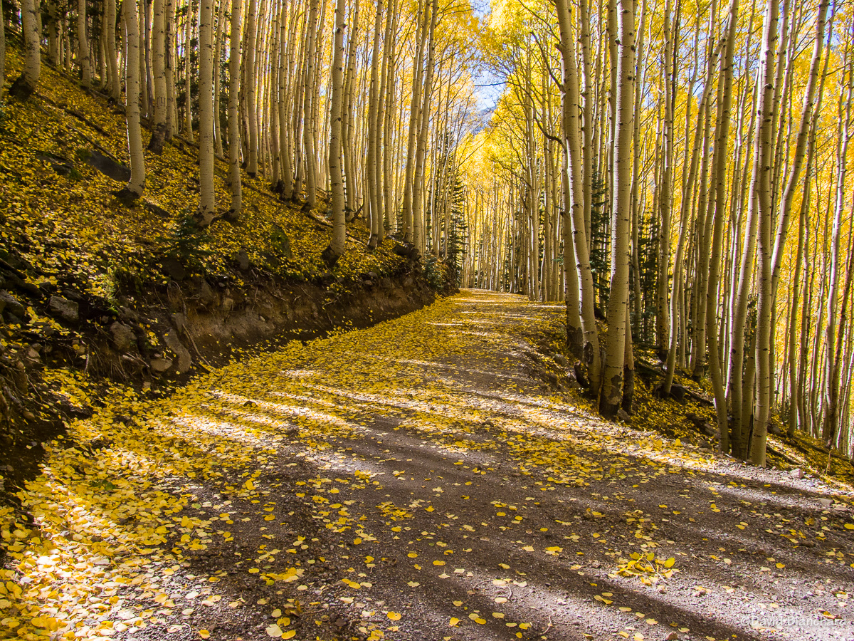
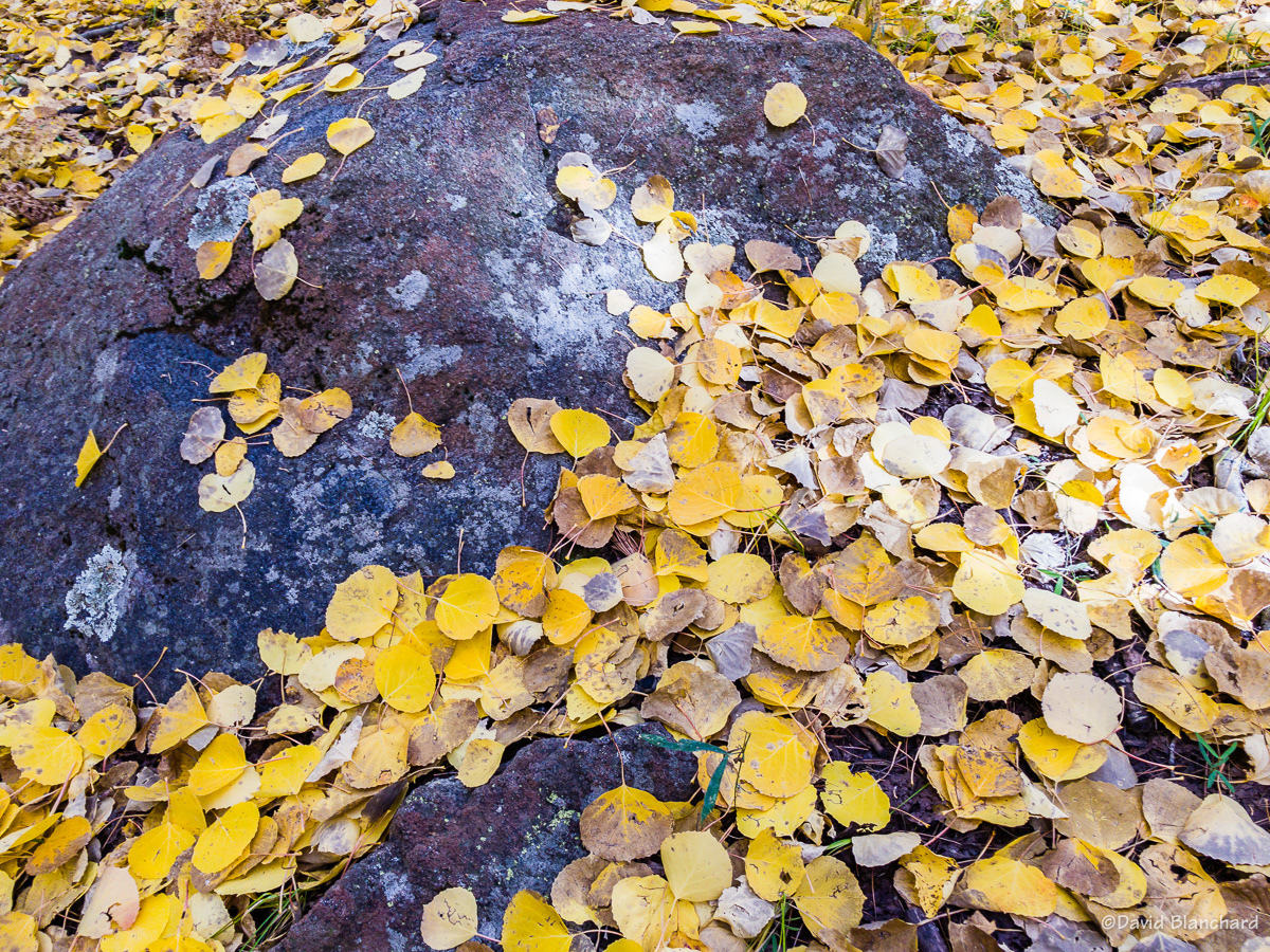
The aspen leaves have now mostly fallen to the ground with only a few patches of color left. It has been a good year for leaf peeping and I was able to capture several images that I like. But I have also captured some good photos over the years and this post highlights some of those.
Inner Basin Trail, October 2014.
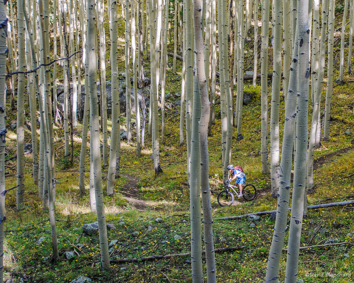
My favorite is this photo taken while mountain biking in the Inner Basin of the San Francisco Peaks. Shot with fill flash and an ultra-wide angle lens.
Inner Basin, 2005.
One of my earliest photos, also in the Inner Basin, was shot on Fuji Provia film in 2005. The remaining photos are from 2008 through 2022 and are, of course, digital shots.
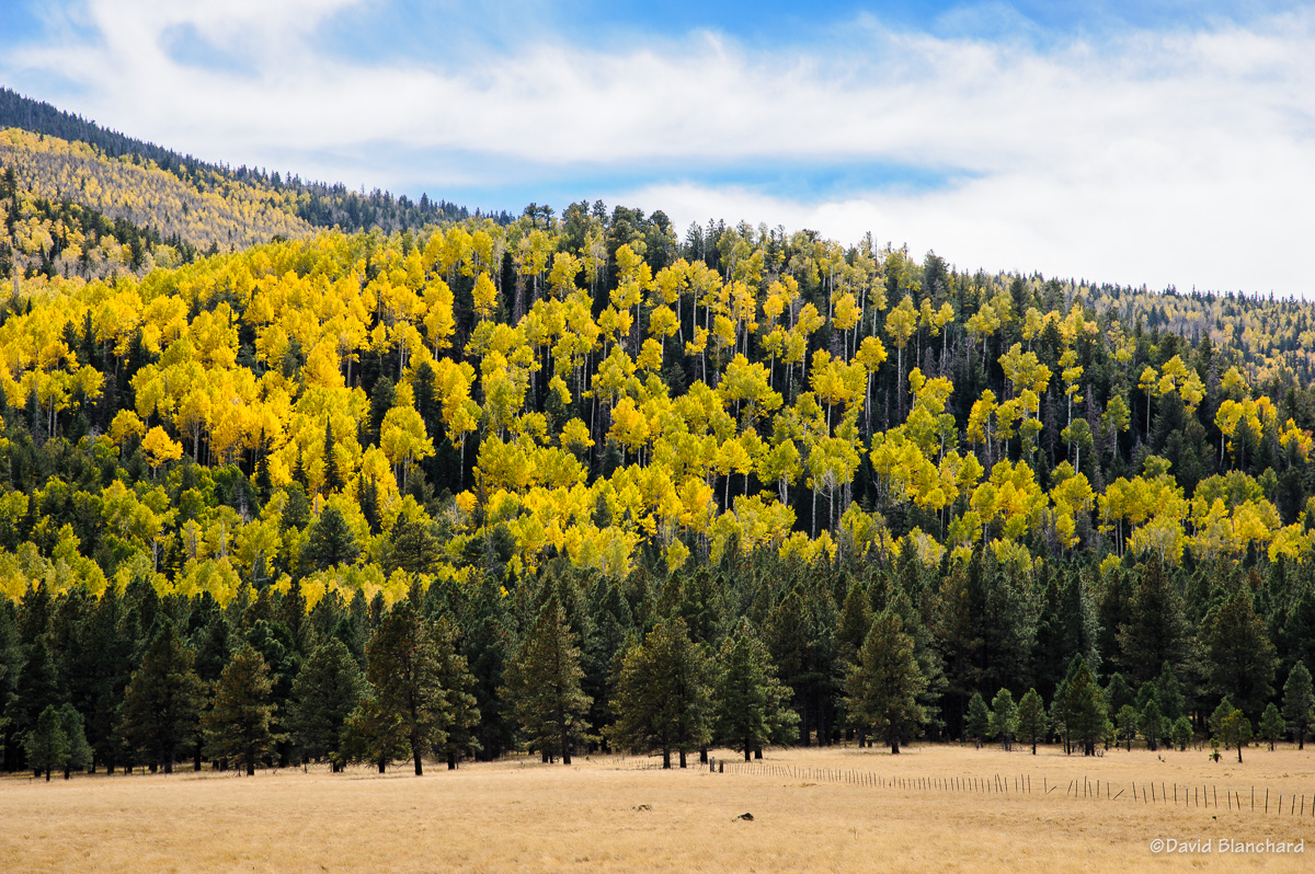
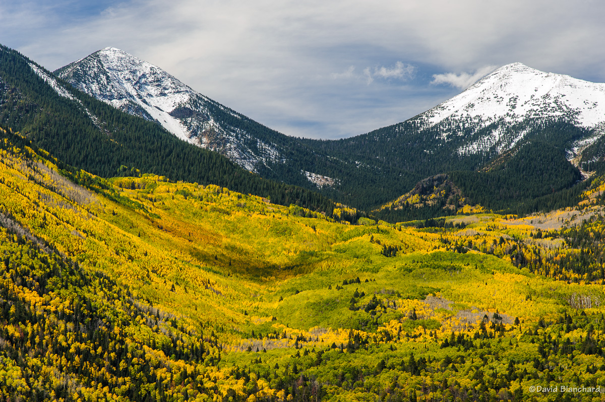
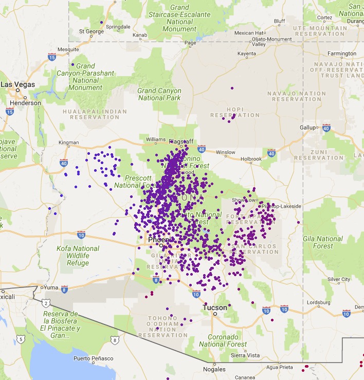
Waterline Road, 2008.Arizona Trail at Bismarck Lake, 2010.Aspen Corner, Snowbowl Road, 2011.Weatherford Canyon, 2012.NWS, Bellemont, 2012.Inner Basin, 2013.Mountain biking, Inner Basin Trail, 2013.Arizona Trail, 2013.Forest Road 418, 2013.Waterline Road, 2014.Inner Basin Trail, 2015.Lockett Meadows and Inner Basin, 2015.Waterline Road, 2018.Weatherford Canyon, 2018.Mormon Mountain, 2018.San Francisco Peaks, 2019.Hochderffer Hills, 2021.Dry Lake Hills, 2022.Arizona Trail, 2022.Alfa Fia Tank, 2022.Arizona Trail, 2022.
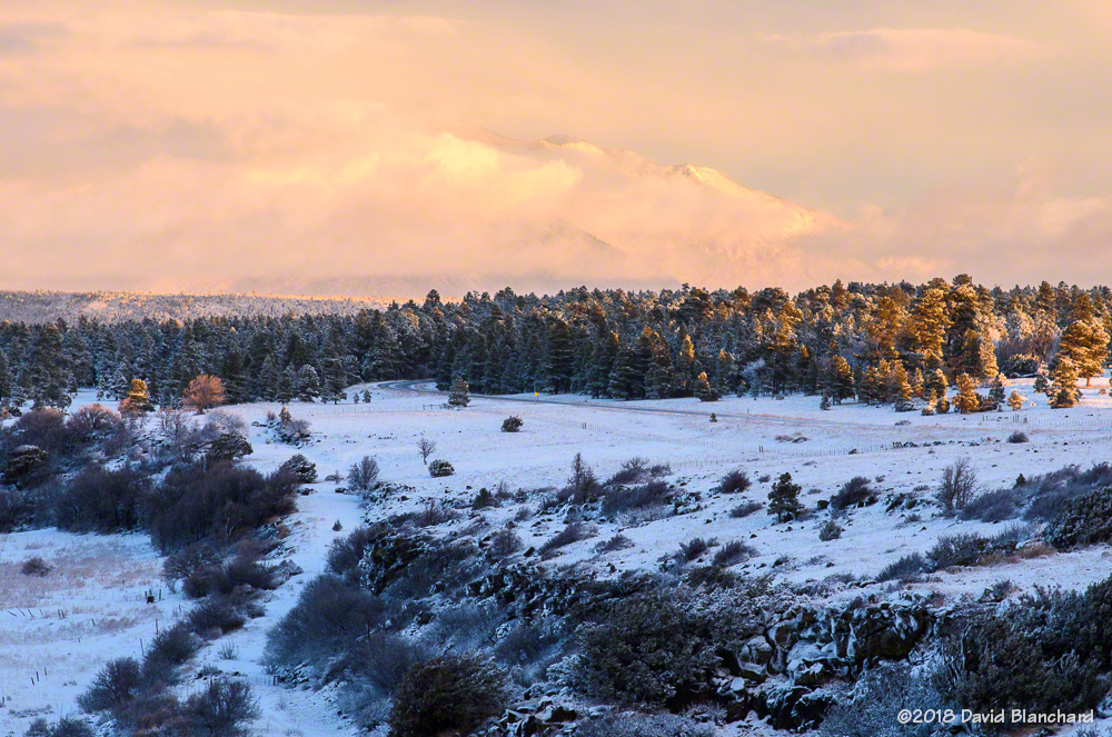
It has been a very dry autumn and early winter around these parts—but that finally changed as a winter storm moved across the area yesterday and today. On Tuesday afternoon clouds began to increase across the area and there was a cap cloud draped across the San Francisco Peaks.
Clouds cover the San Francisco Peaks as a winter storm approaches Arizona.
Most, but not all, of Arizona received precipitation including Flagstaff. We have been without any significant precipitation since September 27 when 0.07″ of rain fell. Since then, we’ve had 0.01″ on November 17 and a Trace on December 21. That’s it. It’s been the driest period on record and the second latest first snowfall of the season. And it’s been warm.
Water vapor satellite image of the winter storm approaching Arizona.
Rain began to fall around 7:30 P.M. Tuesday evening then switched to snow around 10:15 P.M. as the cold front moved across the area. Prior to frontal passage we had several rounds of thunderstorms. At least one of these thunderstorms exhibited extreme right-mover characteristics as well as some weak rotation suggesting it may have been a supercell. With this winter storm Flagstaff received ~5″ of snow and 1.19″ of total water.
Location of lightning strikes as the cold front advanced across Arizona.
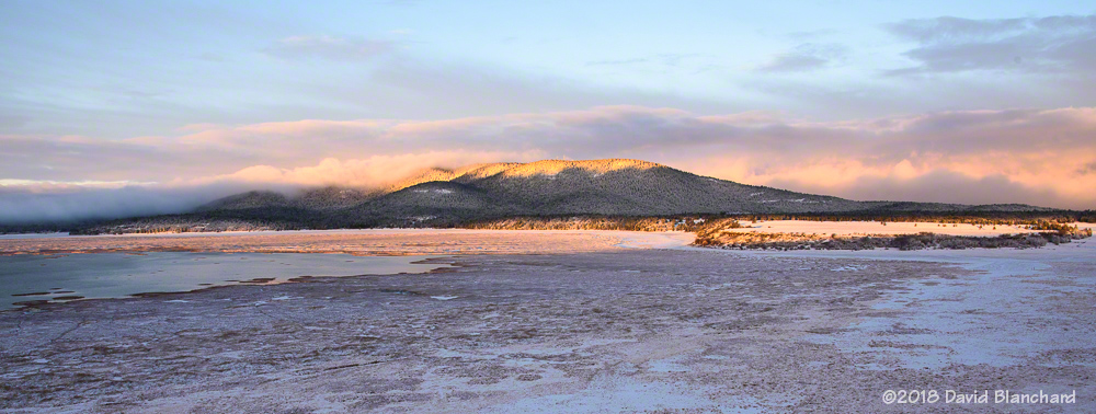
Although it was still mostly cloudy this morning, there was a gap in the clouds along the eastern horizon allowing sunshine to briefly illuminate the peaks shortly after sunrise.
San Francisco Peaks wrapped in early morning clouds.Mormon Mountain and Mormon Lake at sunrise.
The San Francisco Peaks are almost completely wrapped in clouds with only the summits visible. A few minutes later, the sun had risen high enough that it was above the clear gap and everything turned gray again.
This will be a short-lived episode as the forecast indicates a quick return to warm and dry conditions across the southwest.