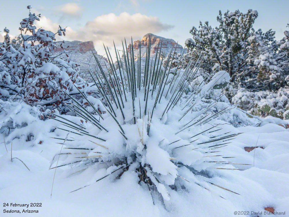
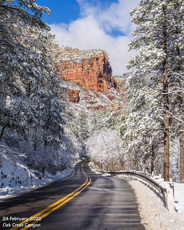
Snow in the desert is amazing. Desert plants and red rocks are covered with snow and birds are just a bit bewildered by the whole experience.
Red rocks and snow covered trees near Sedona.Snow-covered desert plants near Sedona.
A very cold storm system moved across Arizona on Tuesday and Wednesday and snow levels fell well below 4000′ feet bringing snow to the higher deserts including Sedona. I was pretty certain I was going to make the trip to Sedona for sunrise on Thursday morning.
Around 3 a.m. the snow plows came through the neighborhood pushing up a 2 foot berm of ice and snow that would need to be cleared before I could get out of the driveway. Classic—happens just about every time!
Once in Sedona I followed a trail that had not seen any human traffic since yesterday but there were coyote tracks. I never saw the critter and it was probably just as well.
New snow covers red rock and trees in Oak Creek Canyon.
The snow in Sedona will be mostly gone within a day or two.
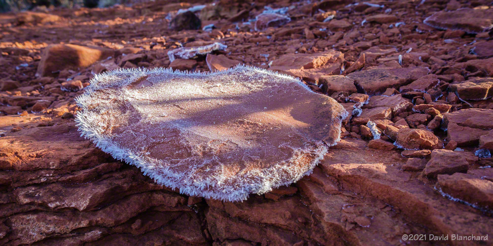
Last week we headed down to Sedona for a trail run. Because of a recent rain event followed by a very cold night there was frost on the ground and some of the vegetation. Especially wonderful was the spiky frost on many rocks and tree roots.
Spiky frost on a small rock.Frost on an exposed root.Frosted plants.
Late September provided a chance to photograph storms associated with the passage of an upper-level trough crossing the southwest. Ahead of the trough would be moderate-to-strong upper level winds along with deep-layer shear. So there was a possibility of a few strong thunderstorms that might develop supercellular characteristics. As well, there would likely be a line of storms that formed on the surface cold front pushing southeastward across the state.
Shelf cloud associated with an outflow boundary from a cluster of thunderstorms moving over the San Francisco Peaks.
The plan was to head north to Cameron, Arizona, then slowly work back to the south as the line of storms moved across the area. I went to Cameron but the storms to the west and northwest were already weakening while storms farther to the southwest were strengthening. So — back south I went with stops at Wupatki NM and Sunset Crater NM while watching the storms. A cluster of storms developed north of the San Francisco Peaks and eventually pushed a strong outflow across the mountains. The leading edge of this outflow had an interesting cloud structure and was briefly very photogenic.
Sunset colors on the clouds at Fort Tuthill County Park.
After a few photos, I continued moving across Flagstaff on my way home. Suddenly, the sun dropped low enough to get below the clouds and for a few minutes there was great sunset light on the bottom of the clouds. I shot a few photos at Fort Tuthill County Park with the undersides of the clouds full of sunset colors. And, then just a few minutes later it was over and the light was gone.
So I could have just stayed at home and gone out shooting at the last minute of daylight.
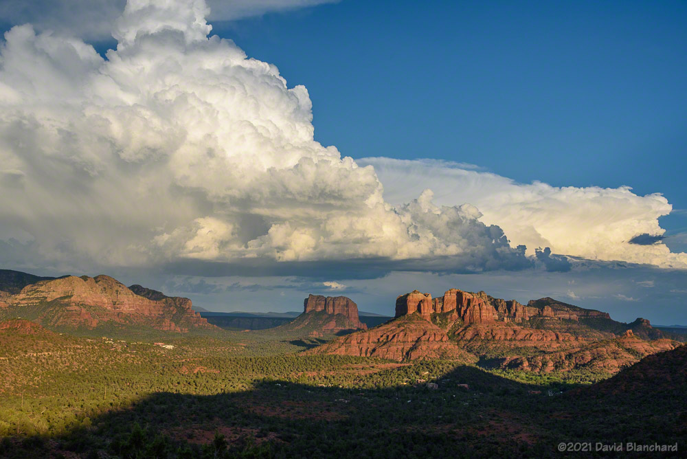
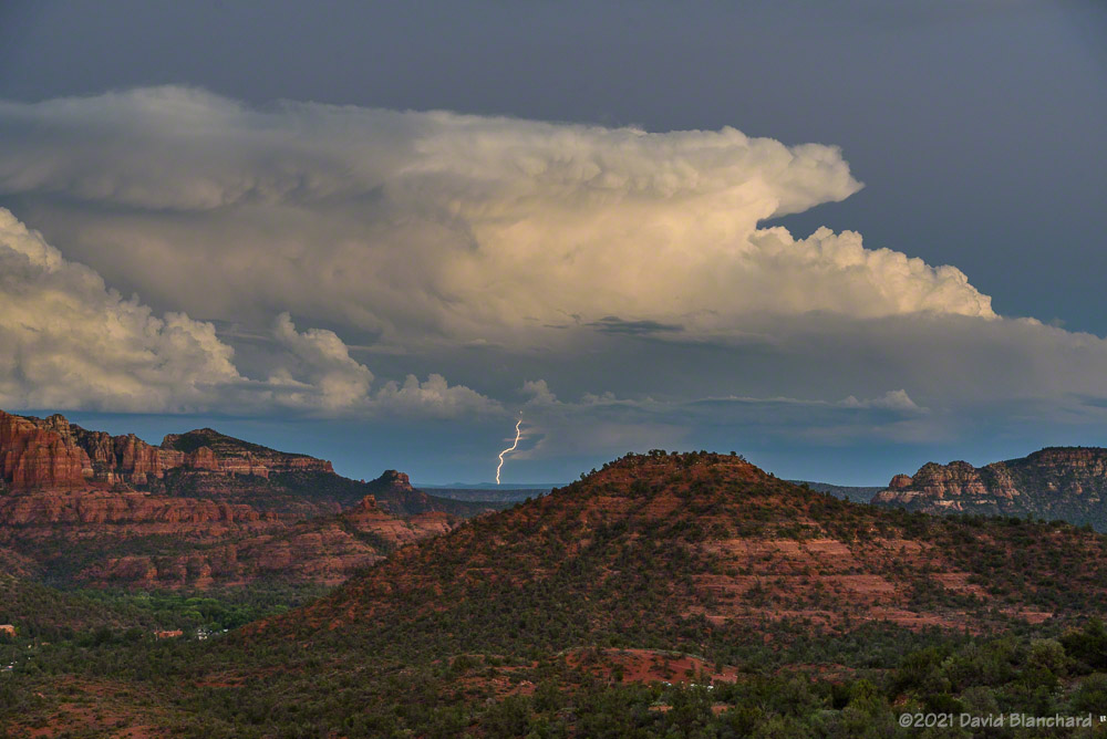
Late afternoon sun lights up a distant thunderstorm and the Red Rocks of Sedona.The setting sun and crepuscular rays.
The next day showed potential for a few interesting storms south of Flagstaff. I headed to Sedona and spent a few hours photographing storms.
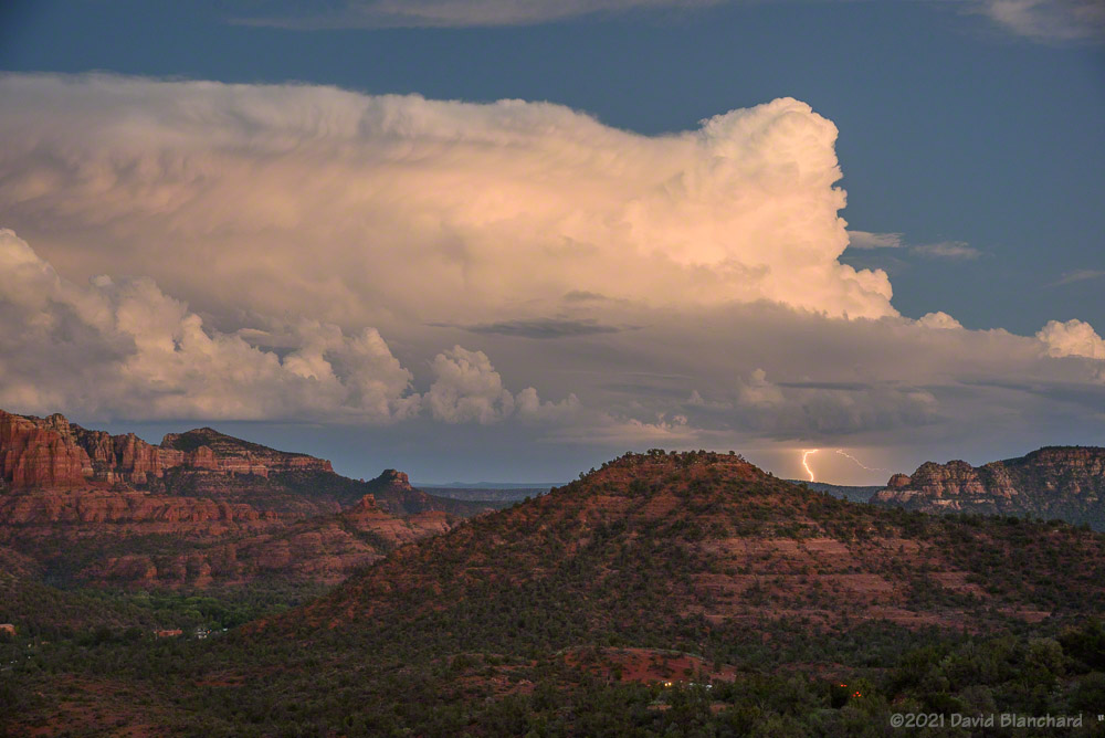
It was a pleasant evening in Sedona watching thunderstorms as the sun sank lower in the western sky. It was mostly clear in that direction allowing sunlight to illuminate storms in the east. This is one of my favorite setups: clear in the west and stormy in the east.
Early evening sunlight illuminates thunderstorms and Cathedral Rock in Sedona.Early evening sunlight illuminates thunderstorms.Lightning from a distant storm after sunset.Lightning from a distant storm after sunset.
The setting sun produced wonderful pastel colors on the clouds and occasionally illuminated the rock spires and buttresses in the middle distance. And after sunset, distant storms showed large anvils along with occasional bolts of lightning.
The past few days have produced interesting storms across northern Arizona.
An isolated thunderstorm develops at sunset.Lightning illuminates an updraft.
An isolated storm developed around sunset and produced both wonderful colors and lightning. Most of the lightning, however, was on the other side of the updraft so the storm instead was lit from the inside like a lightbulb. The storm colors and lightning was nicely reflected in the waters of the Kachina Wetlands.
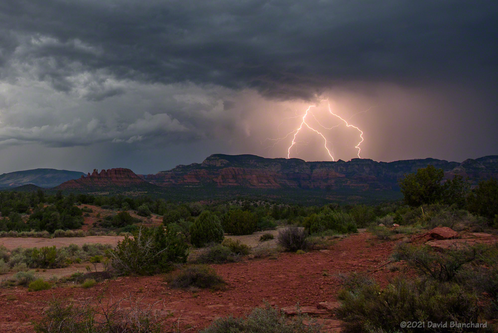
Low clouds from thunderstorms envelop the San Francisco Peaks.Outflow boundary and low clouds arrive in Sedona.Lightning over the Mogollon Rim.
A few days later a large line of convective storms moved southwestward across the state and produced a haboob in the lower (and drier) elevations. As the leading edge of the rain-cooled air moved across the San Francisco peaks the clouds quickly enveloped the mountains. About an hour later, the shelf cloud arrived in Sedona and new storms began to develop.