March Snow in northern Arizona

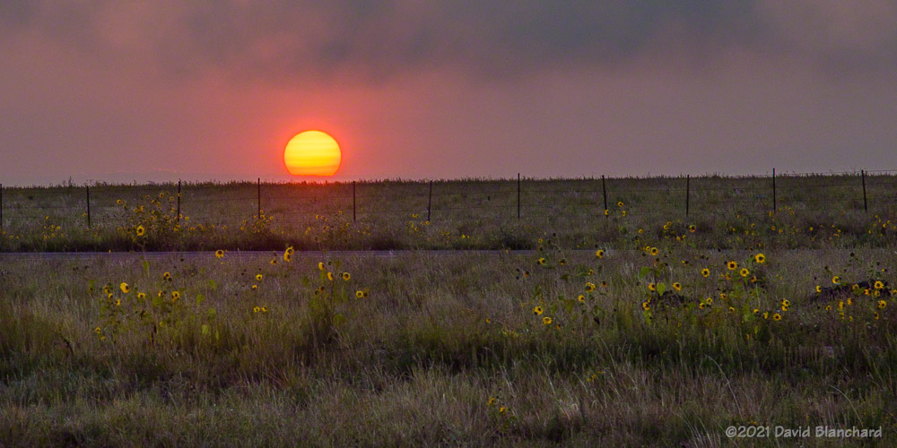
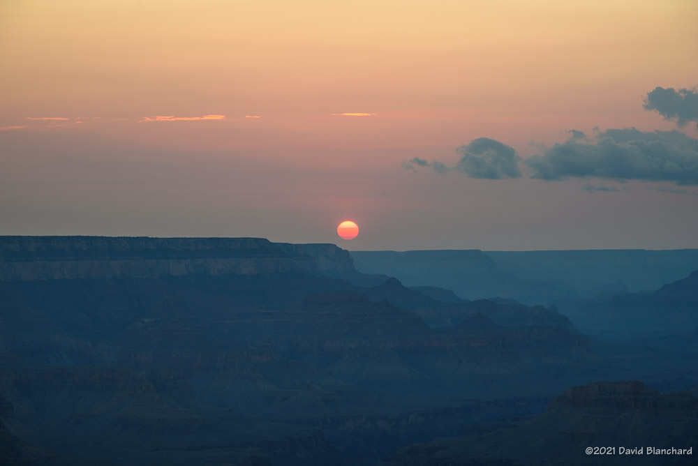
Another winter storm moved across northern Arizona on Friday and Saturday dropping several inches of snow. Clouds began to clear Sunday morning just before sunrise setting up the possibility of a great sunrise. Well—it was a great sunrise at my location but a small patch of low clouds blocked the sun from shining on the San Francisco Peaks.

First light illuminates freshly-fallen snow.

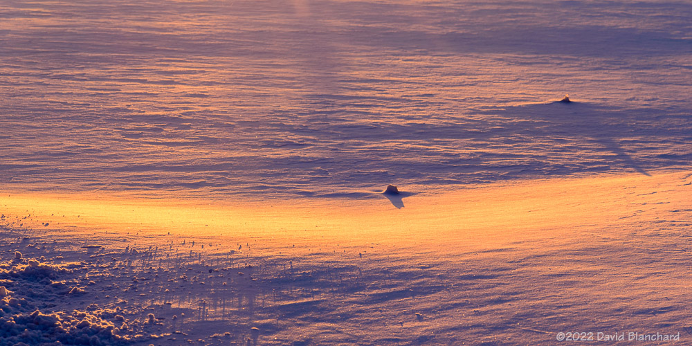
Time to shoot photos of something else. Here is an image as the first sunlight hits the snow in front of me. The sun angle is so low that the slightest undulations in snow create long shadows.

Tire tracks in the snow.

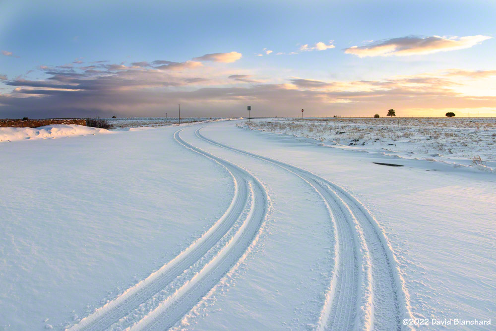
Tire tracks in snow are interesting, aren’t they? Taken just a few minutes later as a bit of cloudiness moved in front of the sun.

Old ranch buildings near Mormon Lake.

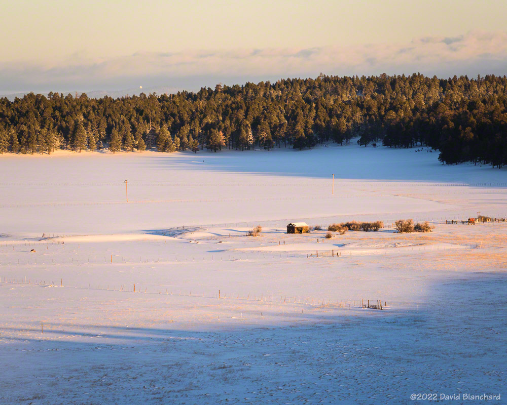
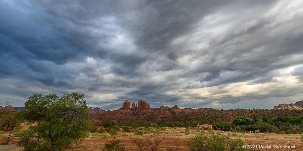
There are a couple of old buildings in the meadow near Mormon Lake and the sun and clouds provide a natural spotlight on the old ranch.

Clouds blow across the top of the San Francisco Peaks in the wake of a departing storm.

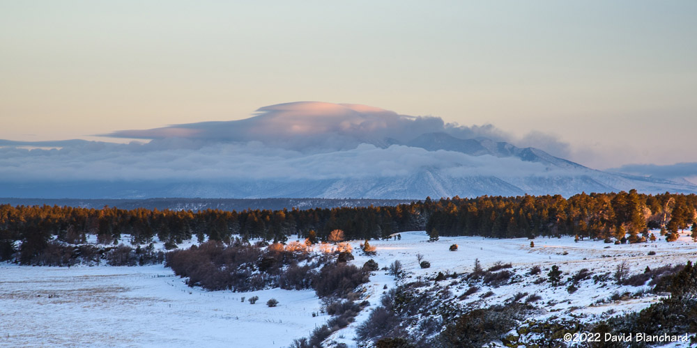
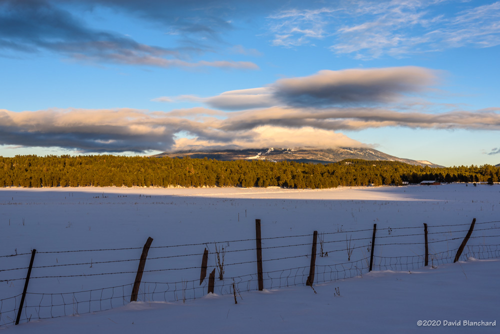
Here is an image of the San Francisco Peaks with just a bit of light striking the highest clouds.

Finally, a short time lapse video of the peaks and clouds. Note the sinking motion along the eastern edge of the peaks as well as the hydraulic jump farther downstream.

Morning Fog at Mormon Lake

A few days of tropical moisture—remnants of Tropical Depression Nora—brought widespread rainfall to much of northern Arizona. As the moisture was replaced by drier air in the middle- and upper-levels but was unchanged in the near-surface layer, we were left with a situation in which fog might form in the early morning hours.


So, up before dawn to drive out to Mormon Lake and the surrounding basin. And there was fog—at least in one corner of the basin. Here is a 30-minute time lapse compressed down to 17 seconds showing the movement of the fog as it sloshes back and forth.

Sunrise through morning fog.

As this was taking place, the sun rose through a shallow layer of fog.

Sunset at Grand Canyon.

Bonus: on the previous evening the sun was setting through layers of smoke from the western wildfires.

Edit: updated image.

Thunderstorms and Lightning

The North American Monsoon has been sputtering—for lack of a better term—the past week or two. We get a few days of storms followed by a hot and dry period. Finally, however, moisture is beginning to increase and we are seeing more storms. I have tried several times this year to get great photographs of storms and lightning but my success rate has been pretty low.

Here are a few photographs from the past week.

Clouds develop across the whole sky in Sedona.
An outflow boundary arrives and thunderstorms develop within a few minutes.
A distant thunderstorm seen from Wupatki National Monument.
Mid-afternoon lightning near Mormon Lake.

And, finally we have a time lapse of the same storm that produced the lightning above. The video is 200x real time; from the motion it can be seen that the storm has some slow rotation. This storm moved off the higher terrain and became severe as it neared the Camp Verde area.

The weather models have been consistent with forecasting a significant increase in storm activity next week.

Wave Clouds over the San Francisco Peaks

New Year’s Day brought some interesting wave clouds to the San Francisco Peaks. I headed west to Brannigan Park to get both good views of the clouds and sunset colors on the peaks. In addition, I shot time-lapse video that shows the amazing motion of the wave cloud above the peaks and the cap cloud that obscures the summit.

Clouds over the San Francisco Peaks.
Wave clouds above the San Francisco Peaks.

Time-lapse video of wave clouds and cap clouds.

And then there were these thin, wispy clouds catching the light of the setting sun.


Dramatic lenticular clouds above the Kachina Peaks

A strong cold front and upper-level low was rapidly approaching Arizona. Ahead of this weather disturbance these spectacular lenticular clouds developed over the Kachina Peaks during the night of 03/06/2012. As the sun rose in the morning the clouds were nicely illuminated. About an hour after sunrise atmospheric conditions began to change and the wave clouds became more diffuse and detached from the peaks and drifted downstream.

Dramatic wave clouds above the Kachina Peaks.

Here is a video clip showing the wave clouds. The original clip is 40m40s long. The clip shown here has been sped up by a factor of 200x so the time lapse now occurs in around 12 seconds.