Some years it’s easy to get great photographs of the changing colors of aspen leaves in northern Arizona. The weather is good, the timing is right, you’re in the perfect place. It all comes together.
That wasn’t this year.
We set out several times on the mountain bikes to see and enjoy the color. First we were too early; then we were too late. We were out of town on a long-planned trip and the peak color season occurred while we were gone. It happens.
Not that I’m complaining. I’ve been able to get good photographs many times in the past and there will be opportunities again in coming years.
So here is a collection of pre-season photos, post-season photos, and a few from several years ago comparing colors in the Inner Basin on similar dates but different years.
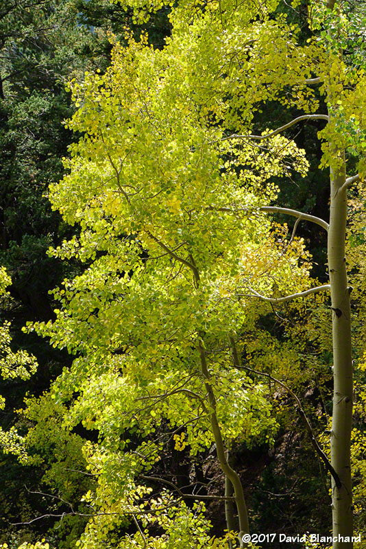
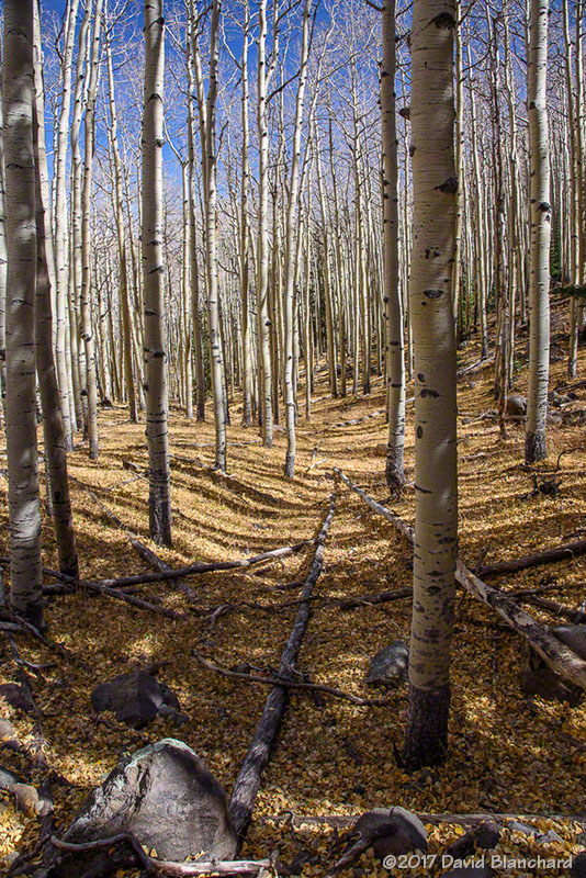
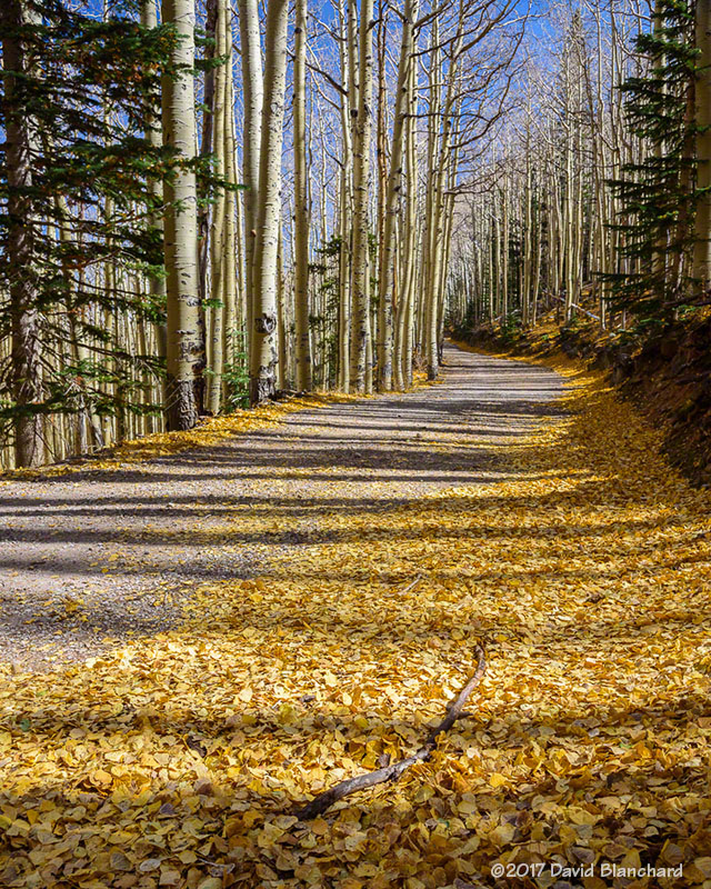
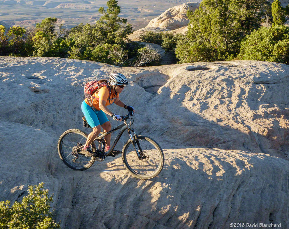
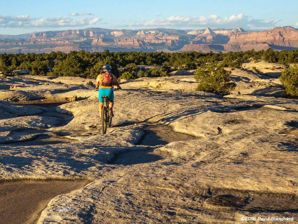
Early season colors seen along Waterline Road (09/25/2017)Early season colors seen along Waterline Road (09/25/2017)Early season colors along the Arizona Trail near Bismarck Lake (09/29/2017)Late-season aspen along Waterline Road (10/17/2017)Late-season aspen along Waterline Road (10/17/2017)Mountain biking on Inner Basin Trail (10/17/2017)Mountain biking on Inner Basin Trail (10/17/2017)Mountain biking on Inner Basin Trail in 2014 (10/14/2014).
Based on previous years, I thought we might still find some great color in the Inner Basin this late in the season. We certainly did in 2014—but not 2017.
And here are a couple from 2015—another good year for aspen photography.
Inner Basin Trail (10/07/2015).Lockett Meadow and Inner Basin (10/08/2015).
An early snowfall on the higher summits juxtaposed with the aspen almost at their peak made an interesting composition. Getting this view required more hiking and climbing that anticipated—but ultimately worth it.
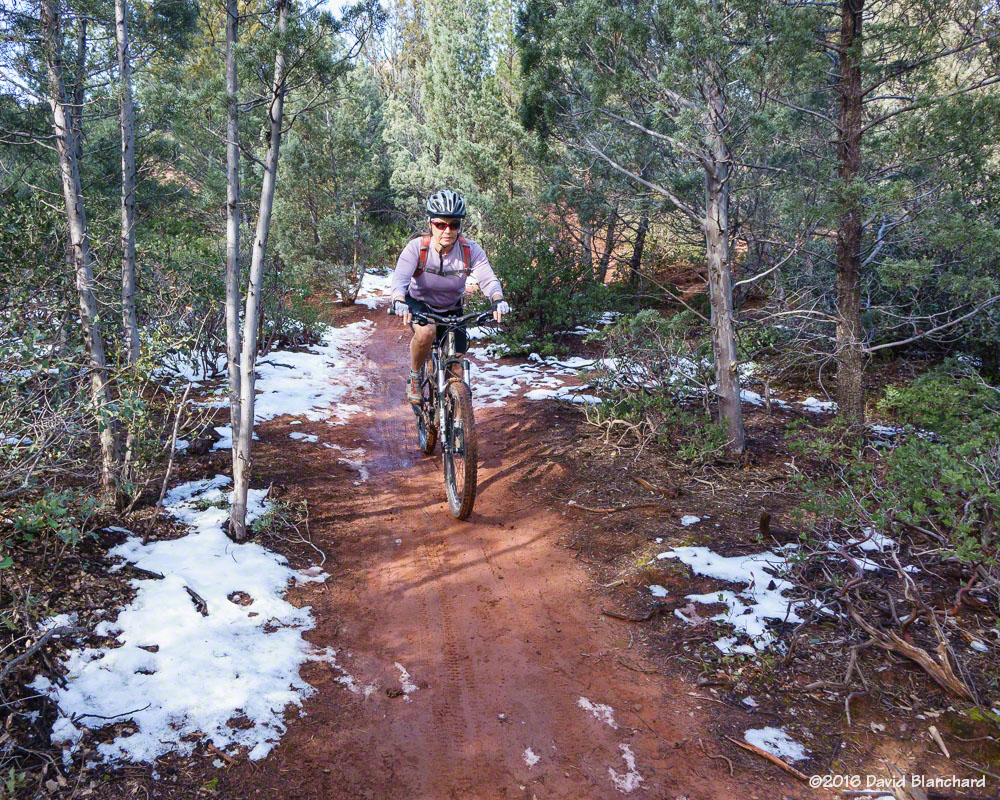
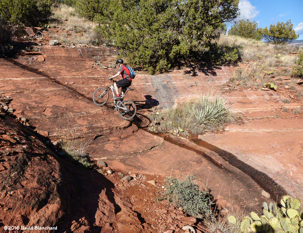
It has been a wet December and January with rainfall amounts running well above average across much of Arizona—including Sedona. So we haven’t been riding quite as much as we would like as trail etiquette is to not ride wet and muddy trails because of the potential trail damage.
Still, we’ve managed to get in a few good days with only a bit of mud and snow on the trails.
View of the Cockscomb from Western Civilization Trail.Narrow tread on Last Frontier.Soldiers Wash trails.Courthouse Butte trails.Aerie Trail on Doe Mountain.Aerie Trail.
Another round of wet weather has arrived and trails will be getting rain and snow over the next few days. It may take awhile before we have dry trails again!
The weather has been pretty dry across northern Arizona this fall and, as a result, we have done all of our mountain biking in Flagstaff.
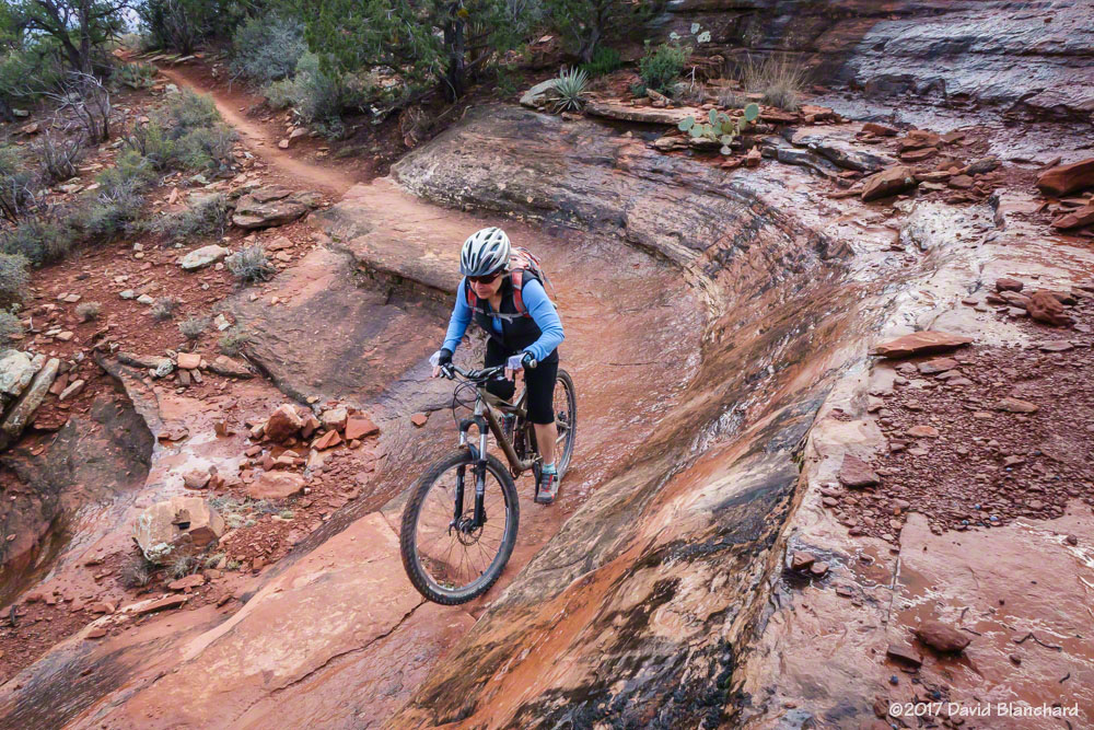
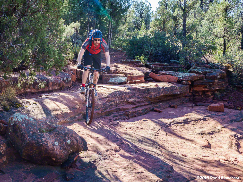
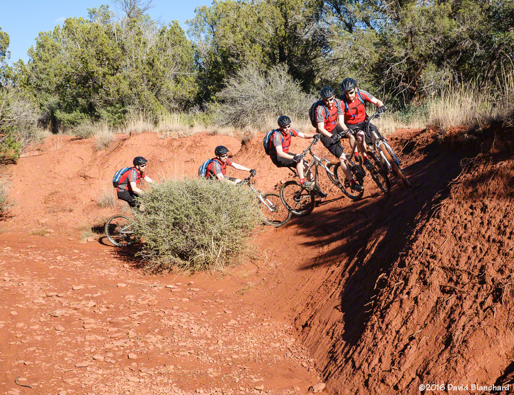
But the good and dry weather finally ended and we have found ourselves down in Sedona riding several times since Thanksgiving week. The rain that fell in late November resulted in the trails being in great condition. The dry and dusty trails are now perfectly damp and tacky providing great traction and grip (“gription”). Some folks call it Hero dirt.
A few photos from those days of riding…
Stair step drops on Chuckwagon Trail.An alternate line on Chuckwagon Trail.Mescal Trail.Action sequence on Canyon of Fools Trail.Scorpion Trail.Secret Slickrock Trail.Easy Breezy Trail.Adobe Jack Trail.
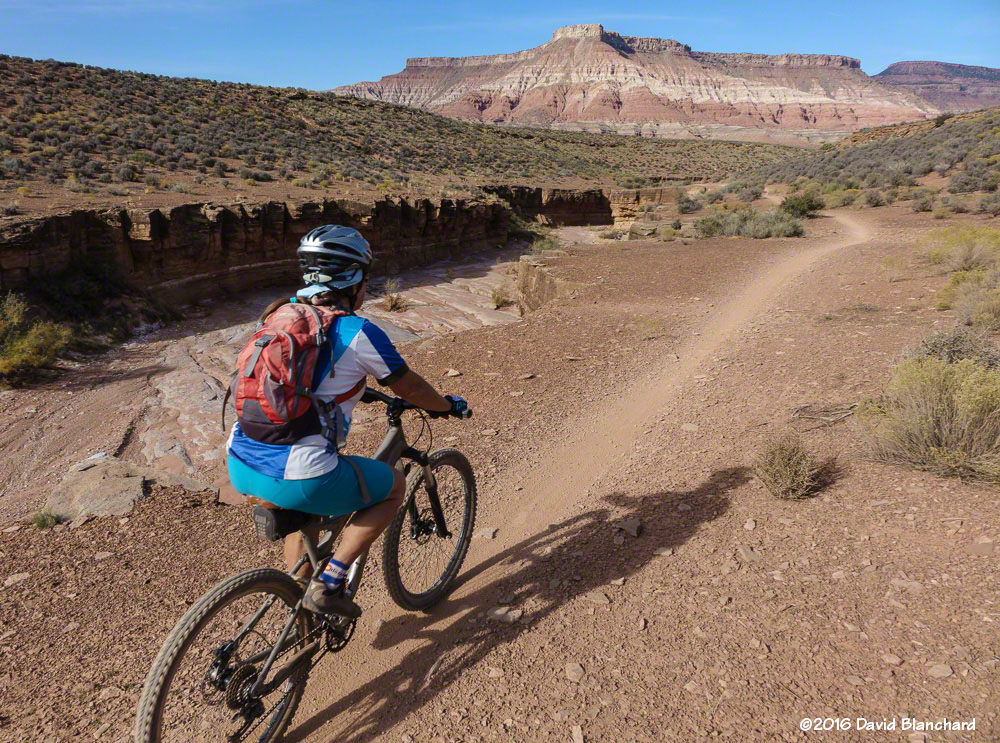
It’s October and time to head to southwest Utah for some autumn mountain biking.
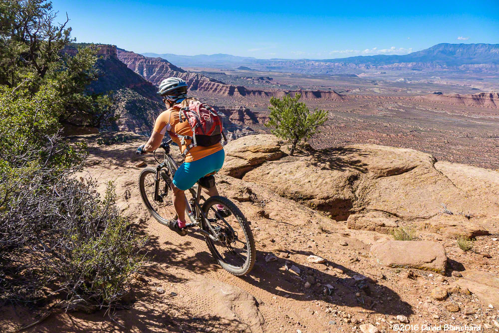
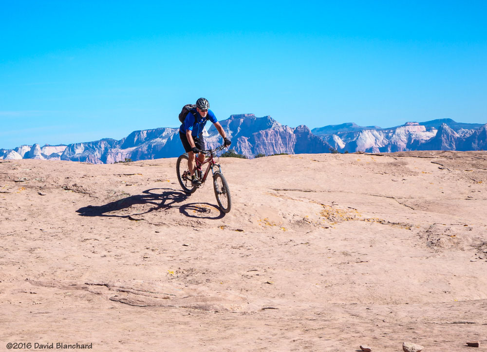
We managed to get out of Flagstaff at the “early” hour of 8 a.m. and arrived at Gooseberry Mesa shortly after noon. After a quick lunch we were off on Windmill Trail. A short distance from the trailhead brings you to the north edge of the mesa with amazing views.
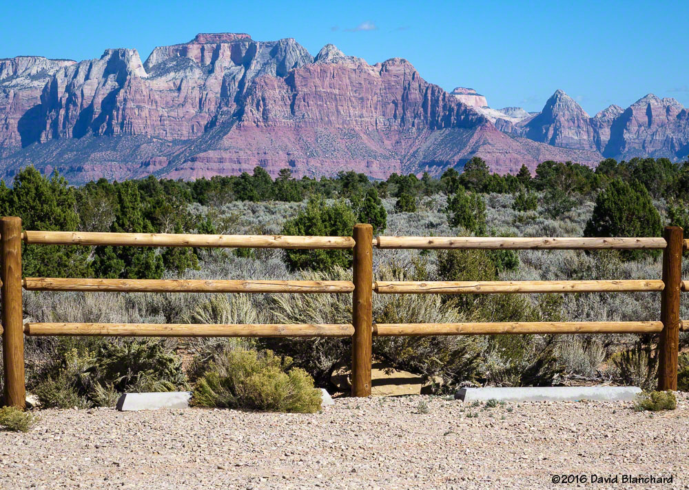
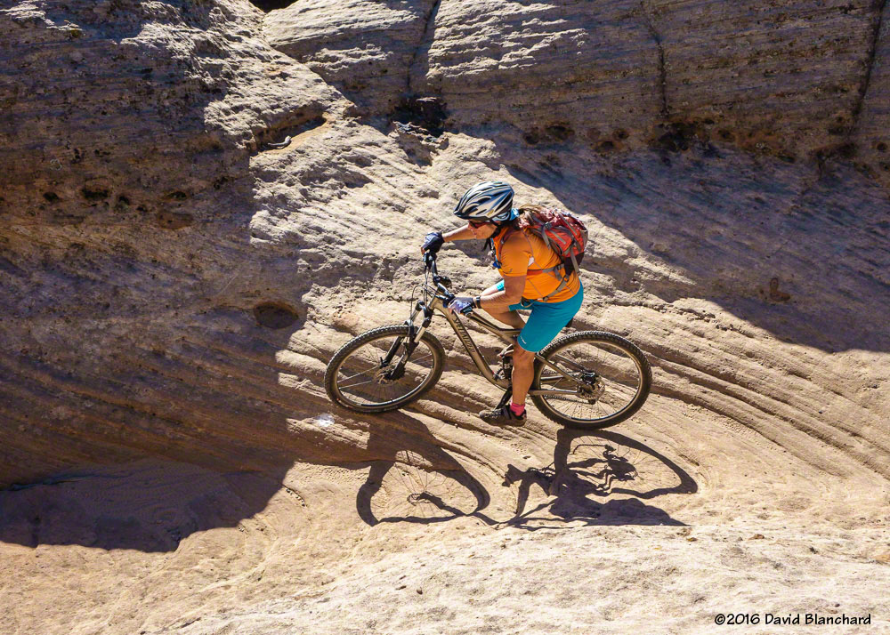
Riding slick rock on Gooseberry Mesa, Utah.The view from the trail head. That’s Zion National Park in the distance.Close to The Edge: Windmill Trail, Gooseberry Mesa.
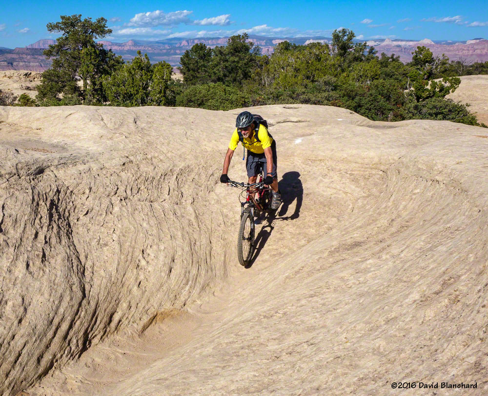
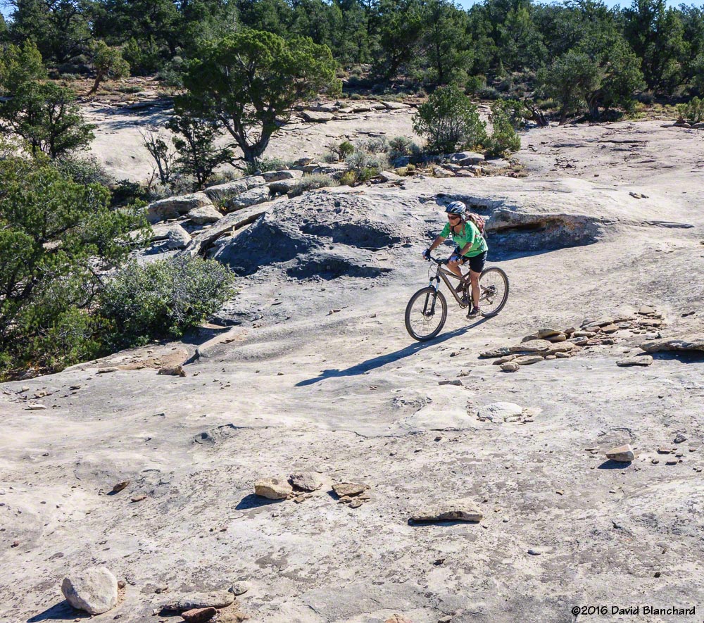
It doesn’t take long before the trail veers away from the edge and takes you through ramps, chutes, small hills, and steps on a high-traction surface. (The geologic name for this rock is Shinarump Conglomerate.) There are no long uphills here—but many short and quick ascents and descents.
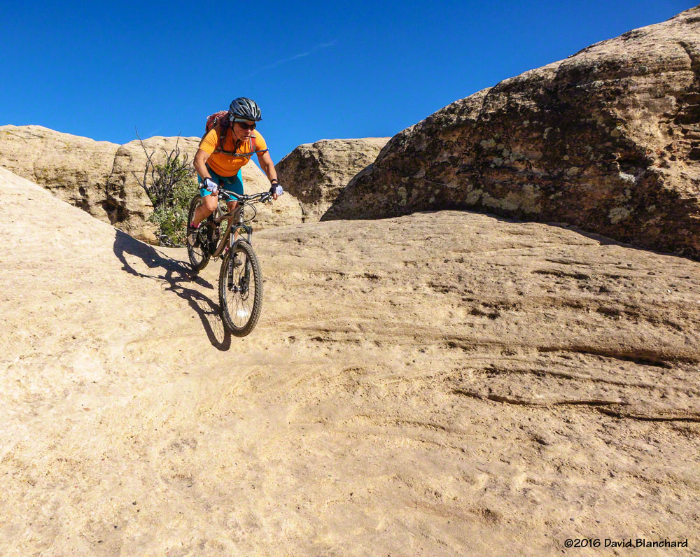
Climbing a ramp on North Rim Trail, Gooseberry Mesa.Rolling down a sandstone bowl……and taking the turn.And the next rider follows…
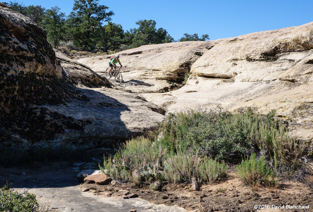
We continued on the North Rim Trail to the west end of the mesa at The Point which provides a magnificent view of the Virgin River valley as well as the Hurricane Cliffs trail system far below.
Another drop into a sandstone bowl, North Rim Trail.Climbing up and through a turn, North Rim Trail.
The return to the trail head included a quick jaunt on Yellow Trail. Great fun—No pictures! We then returned to North Rim and connected with Practice Trail. It was getting late and the sun was low in the sky resulting in wonderful light across the mesa and rocks.
The setting sun illuminates North Rim Trail.Setting sun and glowing rocks on Practice Trail.
The next day we headed for the Hurricane Cliffs Trail System. These trails are at a lower elevation than Gooseberry Mesa and it was a bit warmer—although still comfortable. We headed up JEM Trail, connected to Crytobiotic, and then on Dead Ringer. This took us to the top of the mesa where we connected with the More Cowbells trails.
Ringing the bell at the top of Dead Ringer, Hurricane Cliffs Trails.Mesa-top riding on More Cowbells Trail.
After taking a lap on the easy More Cowbells trail we returned down Dead Ringer and connected to the Goosebumps—a trail with lots of quick ups-and-downs—and then back to JEM for the fast downhill run back to the car.
Dead Ringer Trail as seen from More Cowbells.Return trip down JEM along a side canyon of the Virgin River.
On our final day we visited Little Creek. We had not been here before so we were looking forward to trying out some new trails. There are several loops one can take but given our limited time we chose to take Magic Carpet Ride—which is probably the shortest loop. Lots of slickrock, rollers, and quick ascents and descents: a lot like Gooseberry Mesa, only different.
Magic Carpet Ride, Little Creek tralls.Magic Carpet Ride, Little Creek tralls.Magic Carpet Ride, Little Creek tralls.Magic Carpet Ride, Little Creek tralls.
Navigation here can be tricky and we found ourselves looking at three different sets of cairns going in three different directions. We thought we chose wisely—but found ourselves on a secondary trail. No problem—it was still interesting and fun—and we returned safely to the car.