Biking and hiking in Durango

After an early start to the summer rainy season, the pattern reverted back to hot and dry across the southwest. And not just for a day or two but for more than a week. Two weeks, even.

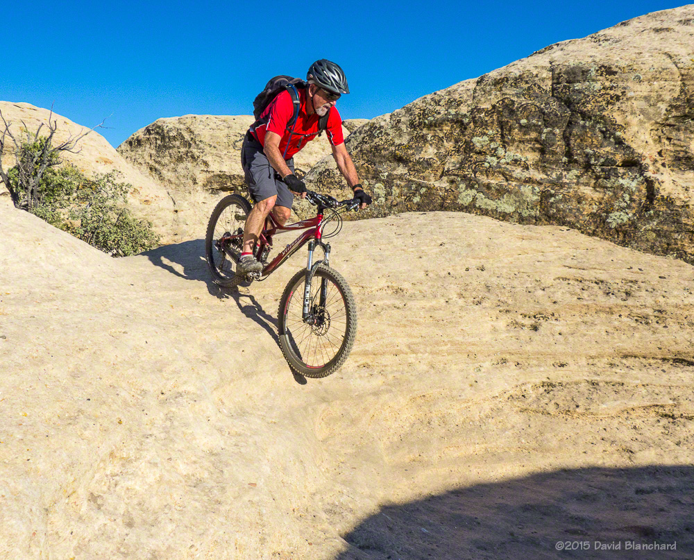
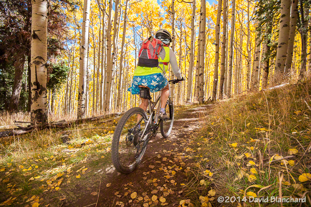
With continued warm and dry weather expected we headed to Durango, Colorado, for a few days of mountain biking and hiking. We already had a few ideas for trails and we figured we’d get more while in town.

On our first day of riding we did the Dry Fork–Colorado Trail–Hoffheins loop with an extension on the Colorado Trail to the local “high point” giving us a total of about 17 miles. There were plenty of wildflowers along the Colorado Trail section along with occasional views of distant peaks. We also saw a family of wild turkey but, as usual, they were easier to see than to photograph.

The start of Dry Fork Trail under a stand of oak trees.
Dry Fork and Colorado Trail intersection. The map says this is "unmarked" and "easy to miss." Need to update the map!
Dry Fork and Colorado Trail intersection. The map says this is “unmarked” and “easy to miss.” Need to update the map!
The wildflowers were fabulous!
Climbing through the ferns and aspen on the Colorado Trail.
Love those cattle guard crossings!

Our next ride was Lower Hermosa Creek trail. We opted to hire a shuttle to drop us off at the high point. From here, it was a 5-mile downhill cruise on well-maintained Forest Service roads along East Hermosa Creek (and within sight of Purgatory Ski Resort) before hitting the actual trail head for Lower Hermosa Creek. From the trail head it’s about 19 miles to the trail terminus.

An easy cruise above East Hermosa Creek.
Smooth and flowy double-track along Lower Hermosa Creek trail.
Single track along Lower Hermosa Creek.

Wildflowers were in abundance and water was flowing down the creek. The first third of the trail was a double-track and open to motorized vehicles although we saw none. We stopped often to enjoy the scenery and I took many photos along this section. The middle third was narrow single track with the creek far below us. And the final third may have had more uphill than downhill resulting a lot of HAB (i.e., Hike-a-Bike). Alas, there are no photos from this section—we were too busy trying to ride!

And the final stretch was a fast downhill on gravel and paved roads from the trail terminus to where we had parked our car earlier that morning.

Larkspur along the Engineer Mountain trail.
Engineer Mountain from the meadows.
Wildflowers and mountain.

For our final day we decided to put the bikes away and hike up Engineer Mountain from Molas Pass. Our goal was fairly modest; we were not seeking to hike to the summit but only to the wildflower-filled meadows. We were not disappointed with the wildflowers. No, not at all!

Winter mountain biking in Sedona

Winter is fading away in the higher elevations of northern Arizona. Snow has melted across much of the area allowing the trails to be used again for walking, running, and, especially, mountain biking. While the trails were covered in snow this winter we did most of our mountain biking in Sedona. Although snow does fall there, it rarely lasts long. Here are a few photographs from Sedona mountain biking this winter.

Chuckwagon Trail in the Dry Creek area. Snow lingered in the shadows making for interesting travel.
Occasionally we had to walk around the ice. This is in a mostly dry wash near the Rabbit Ears.

Continue reading →

Fall leaf color season keeps on going and going…

It’s been a mild autumn so far with very few hard freezes. As a result, the fall color season continues even at the higher elevations. Last week we rode our mountain bikes on the Arizona Trail from FR418 south to Snowbowl Road. This is one of my favorite sections of the Arizona Trail because—among other reasons—it passes through several large stands of aspen trees.

Aspens typically grow in large clonal colonies derived from a single seedling. Thus, each stand or colony of aspen have a strong tendency for their leaves to change color at the same time, while a nearby stand may change either earlier or later.

Aspen leaves cover the Arizona Trail.

Consequently, it is possible to ride this trail over the course of several weeks and have the various aspen colonies exhibit different states of color. Last week, most of the aspen had dropped their leaves but one colony was still in peak color.

Water droplets on aspen leaves sparkle in the brilliant autumn sunshine.

In addition, rain showers the previous day had left the trail in excellent condition; i.e., no dust and firm traction. Many leaves had already fallen from the trees onto the trail and the rain droplets deposited on the leaves sparkled in the bright sunshine.

Snow on the San Francisco Peaks is framed by meadows and aspen.

From the open meadows, snow was visible across the higher elevations of the San Francisco Peaks which contrasted with the deep blue skies and the yellow and gold of the aspen trees.

Happiness is mountain biking on the Arizona Trail through a forest of colorful aspen trees.

Brilliant sunshine, mild temperatures, colorful aspen trees, and mountain bikes: what’s not to like?

Desert mountain biking in southwest Utah

Longer days and warmer weather combined to send us off to southwest Utah for a couple days of mountain biking. We made our first mountain biking trip to this area last fall and had a blast riding the trails—so it was time for a return trip.

View of Zion National Park from the trailhead on Gooseberry Mesa.

We left Flagstaff on a Monday morning and arrived at Gooseberry Mesa by early afternoon. After a quick lunch at the trailhead we started off on Windmill Trail. A short distance brings you to the north edge of the mesa with amazing views to the north—and down.

View from the edge of Windmill Trail.

It doesn’t take long before the trail veers away from the edge and takes you through ramps, chutes, small hills, and steps on a high-traction surface. (The geologic name for this rock is Shinarump Conglomerate.) There are no long uphills here—but many short and quick ascents and descents.

Descending one of the numerous "rollers."
Descending one of the numerous “rollers.”
Rolling into a sandstone bowl.

Finding the route through here is as easy as following the painted dots on the rock.

Follow those dots!
Follow those dots!
More bowls.
More bowls.

The trail ends on the west end of the mesa at The Point which provides a magnificent view of the Virgin River valley as well as the Hurricane Cliffs trail system.

View from Gooseberry Mesa Point.

On Tuesday we headed for the Hurricane Cliffs Trail System. These trails are at a lower elevation than Gooseberry Mesa and it was a bit warmer—although still comfortable. We headed up JEM Trail, connected to Crytobiotic, and then on the newer Dead Ringer. This would take us to the top of the mesa where we could connect with the More Cowbells trails.

Hurricane Cliffs trail system: Jem Trail.

Although Dead Ringer never gets very steep, it is perched on the side of a hill with moderate slope.

Dead Ringer Trail as seen from the mesa top and More Cowbells Trail.

More Cowbells is rated Easy and is a great trail for beginner riders. It is most easily accessed from the Upper JEM Trailhead on the mesa top rather than riding up from the bottom. We returned down Dead Ringer and connected to the Goosebumps—a trail with lots of quick ups-and-downs—and then back to JEM for the fast downhill run back to the car.

The next day we returned to Gooseberry Mesa to try the non-system trail known as Gander. This is an intermediate trail with big mileage if done out and back. It’s best done as a shuttle. Or, in our case,  we did a shorter version of the out and back as we were running out of time.

Riding the rim of Gooseberry Mesa on Gander Trail.

It was getting late and time to go. From Gooseberry Mesa, we drove north towards Rockville. The road was pretty good—until it suddenly wasn’t. For a brief stretch, it was steep, narrow, and rocky and I wondered if I was getting into something I might regret. It was over in about a mile and smoother roads returned. We took the scenic route home through Zion National Park and were back in Flagstaff late Wednesday evening.

Mountain Biking through the Aspen

The aspen have been at their peak color for about a week now. In just a few more days the leaves will fall or be blown away and another fall leaf season will come to an end. We didn’t want to miss the show so we rode our mountain bikes up the Inner Basin Trail to the Waterline Road to enjoy the fabulous colors.

A few years ago the upper portions of the Inner Basin trail underwent some re-routing and the trail now twists and turns through a near surreal stand of aspen as it ascends from Lockett Meadow to the Waterline Road. The landscape has been described as a Monet-like scene when the leaves turn colors in the fall.

Here are a few photos from that day. It just doesn’t get any better than this: beautiful fall colors, mild temperatures, clear skies, and light winds.

Inner Basin Trail.
Inner Basin Trail.
Inner Basin Trail.
Inner Basin Trail.
Inner Basin Trail.
Inner Basin Trail.
Waterline Road near Bear Jaw Canyon.