Is the Monsoon Over Already?

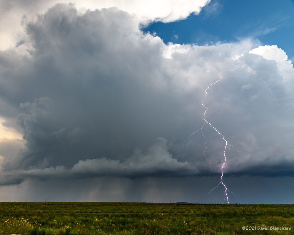
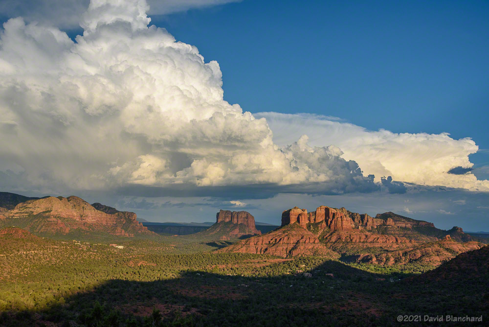
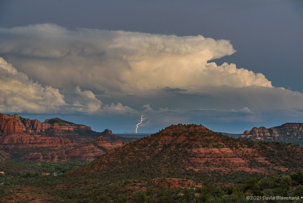
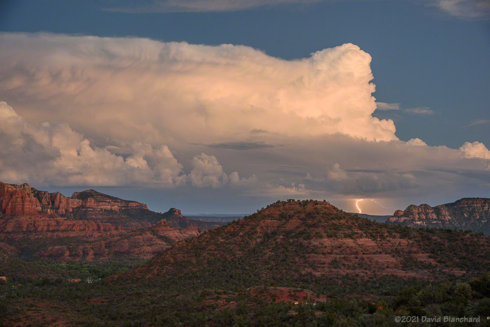
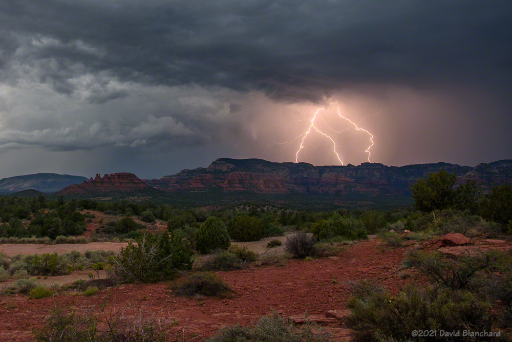
An early-season trough of low pressure moved across the west on Wednesday and Thursday disrupting the winds associated with the North American Monsoon. As the trough moved across the area, copious amounts of sub-tropical moisture surged northward across Arizona and surrounding areas. Widespread rain with embedded thunderstorms occurred across the area with areas of heavy rainfall and localized flash flooding.

Water vapor satellite imagery for 0210 UTC 20 August 2021.
500-mb analysis for 0000 UTC 20 August 2021 (image courtesty NCAR/RAL).

But now the trough has moved northeastward across the Rocky Mountains and into the northern Plains states. The moisture across the southwest has been swept away. This can be seen in the water vapor satellite image. The warm colors are associated with a drier air mass and this has overspread the southwest.

Medium range models such as the GFS (Global Forecast System) suggest that moisture and showers will not return to the area before the end of the month leaving us with an extended break in rainfall.

Hurricane Grace at 1800 UTC 20 August 2021. (Image courtesy TropicalTidbits.com)
Hurricane Grace at 1800 UTC 20 August 2021.
72-h forecast for the remnants of tropical cyclone Grace.
72-h forecast for the remnants of tropical cyclone Grace. (Image courtesy TropicalTidbits.com)

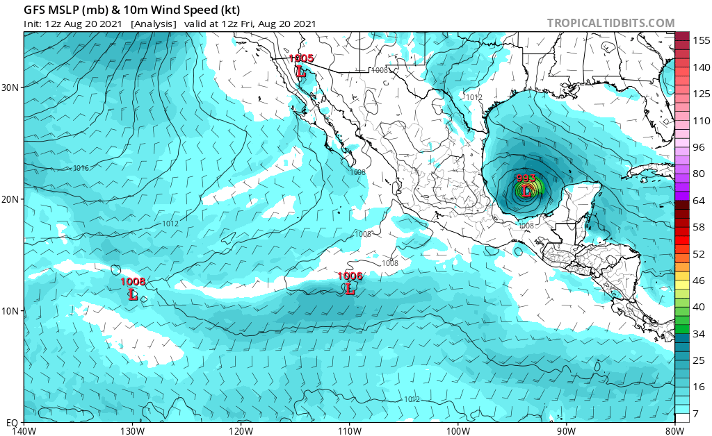
But there are always some features that can result in different outcomes. For example, Hurricane Grace is moving westward across the Gulf of Mexico and is expected to make landfall in Mexico. The remnants of this tropical cyclone will continue to move to the west and may emerge in the Pacific south of the Gulf of California. If this happens, there might be a surge of moisture moving northward toward Arizona that could bring a return of showers and thunderstorms sooner than models currently suggest.

Antelope Canyon Through the Years

Antelope Canyon (2011, Nikon D700).

Antelope Canyon. The name evokes images of a deep and colorful slot canyon with beams of light illuminating the dark interior. It really is an amazing place and many people want to visit it and get a photograph. Years ago, visitors were few; today the number of visitors is so great that restrictions on photography have become necessary. Tripods are no longer allowed and the “photographer tour” is a thing of the past. Stopping for more than a few minutes in any spot is discouraged and your guide will keep you moving.

If only everyone could experience it the way it once was: a leisurely walk through the canyon with time to stop and embrace the beauty of the canyon and take a few unhurried photographs.

I have visited Antelope Canyon several times with the earliest visit in 2000, followed by visits in 2004, 2006, 2009 and 2011. The last two were shot using digital cameras; the others were shot using film.

After reading that the tours had changed a few years ago I took another look at some of the photos that I had taken. Here is a small subset of those photographs of the canyon over the years.

Upper Antelope Canyon (2000, Kodachrome 64).
Upper Antelope Canyon (2004, Fuji Provia).
Lower Antelope Canyon (2006, Fuji Velvia 50).
Lower Antelope Canyon (2009, Panasonic Lumix FZ18).
Lower Antelope Canyon (2011, Nikon D700).

Sunset Convection and Lightning

It was a pleasant evening in Sedona watching thunderstorms as the sun sank lower in the western sky. It was mostly clear in that direction allowing sunlight to illuminate storms in the east. This is one of my favorite setups: clear in the west and stormy in the east.

Early evening sunlight illuminates thunderstorms and Cathedral Rock in Sedona.
Early evening sunlight illuminates thunderstorms.
Lightning from a distant storm after sunset.

The setting sun produced wonderful pastel colors on the clouds and occasionally illuminated the rock spires and buttresses in the middle distance. And after sunset, distant storms showed large anvils along with occasional bolts of lightning.

Lightning and shelf clouds


The past few days have produced interesting storms across northern Arizona.

An isolated thunderstorm develops at sunset.
Lightning illuminates an updraft.

An isolated storm developed around sunset and produced both wonderful colors and lightning. Most of the lightning, however, was on the other side of the updraft so the storm instead was lit from the inside like a lightbulb. The storm colors and lightning was nicely reflected in the waters of the Kachina Wetlands.

Low clouds from thunderstorms envelop the San Francisco Peaks.
Outflow boundary and low clouds arrive in Sedona.
Lightning over the Mogollon Rim.

A few days later a large line of convective storms moved southwestward across the state and produced a haboob in the lower (and drier) elevations. As the leading edge of the rain-cooled air moved across the San Francisco peaks the clouds quickly enveloped the mountains. About an hour later, the shelf cloud arrived in Sedona and new storms began to develop.