Last week another tornado moved across northern Arizona. The damage produced by this tornado was confined to a small area and was nothing like the tornado outbreak of 06 October 2010.
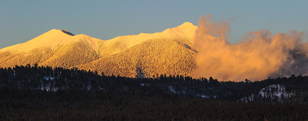
What makes this tornado interesting is where it occurred. The tornado formed just west of the San Francisco Peaks and then moved up the west flank of Humphreys Peak. Damage was isolated along the early portion of the path at around 9000 feet. As it moved up the mountain, damage increased in intensity and coverage with the peak damage occurring near 9800 feet. Farther up the mountain isolated damage continued until the tornado dissipated near 10500 feet.
The worst damage occurred as the tornado crossed the Humphreys Trail just a short distance from the trail register. In the first few days after the event travel along this section of the trail can best be characterized as challenging. Climbing over and under downed trees — and around others — certainly slows the hiking pace.

This is not the highest elevation tornado of record. That belongs to a tornado that occurred in the Sierra Nevada mountains a few years ago with evidence of damage at elevations above 12000 feet.
The limited damage inflicted upon the mountain might never have been noticed if it had not passed over a heavily used hiking trail. Now that’s serendipity. Or bad luck.
Nobody saw the tornado so all we have to go on is the radar data. And according to that information the event occurred between 5:25 and 5:35 pm on 14 September 2011.


