As noted in a previous post we had an early start to the North American Monsoon which brought thunderstorms and rain to northern Arizona in the second half of June. This was most welcome as it had been a very dry spring. Then we went into a down period for the first third of July with very little activity. That was completely reversed as we entered a period of very strong monsoon activity which brought frequent heavy rains and flash flooding.
So the first part of July had few targets. The remainder of July had above normal amounts of total precipitable water and very high surface dewpoints which produced an environment with mostly cloudy skies and very low cloud bases. None of this is particularly conducive to photographing storms with beautiful light (i.e., golden hour, blue hour). Nonetheless, if you head out often enough you will get some good photographs.
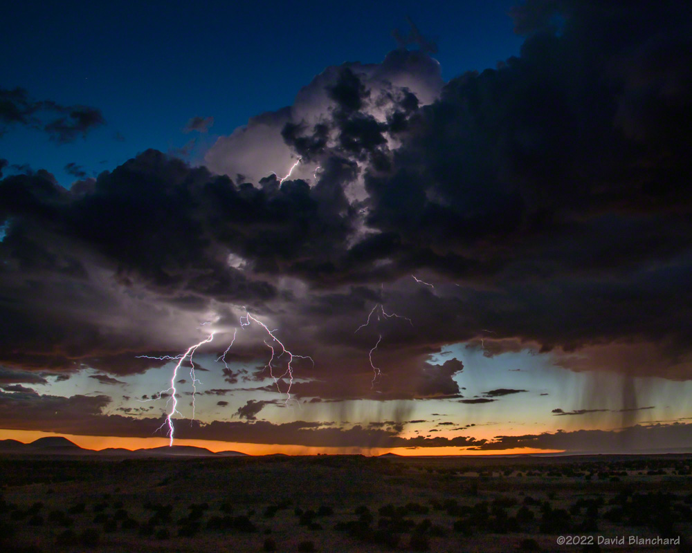
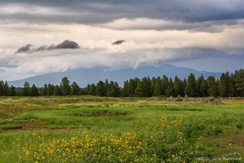
A cluster of late afternoon storms that lingered into twilight produced some beautiful lightning over the San Francisco Volcanic Field.

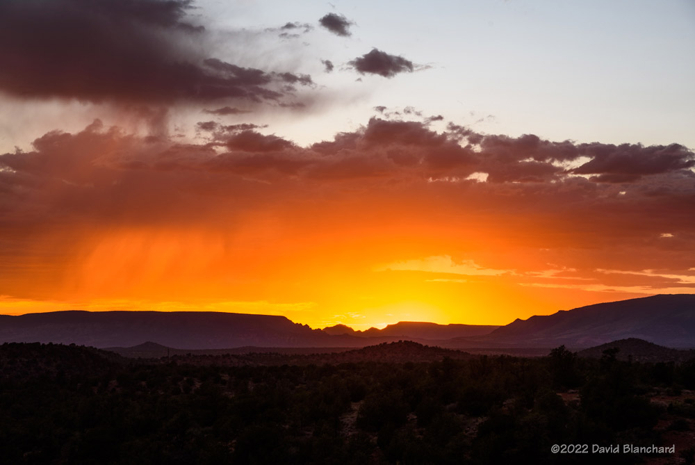
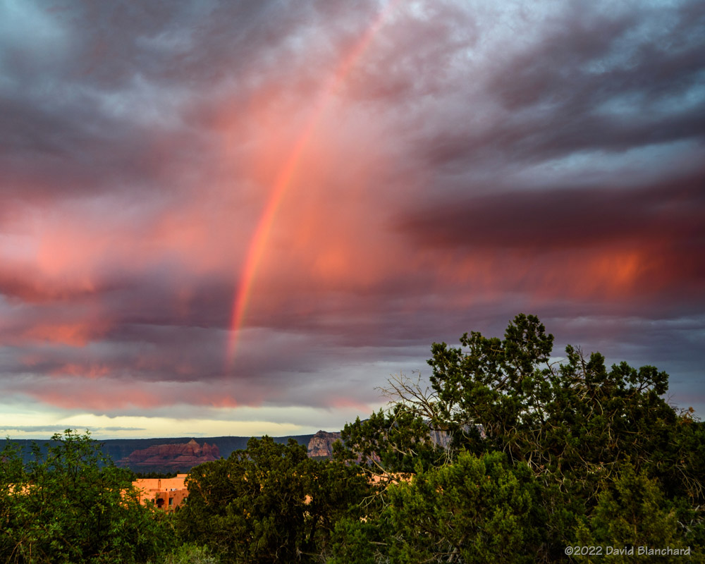
This day in Sedona produced very little lightning but did get a nice sunset and a partial rainbow.
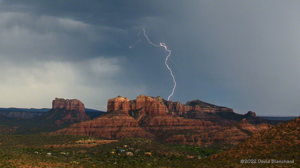
Convection often starts early over the elevated terrain of the San Francisco Peaks. These storms eventually produced flash flooding over recent wildfire burn scars.
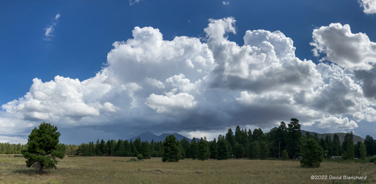
Convective towers mix with laminar wave clouds over the San Francisco Peaks. Shot from Marshall Lake–now just a dry grassland.


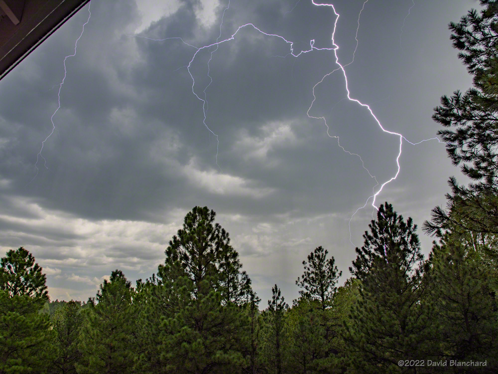
Sometimes you don’t have to travel any farther than your back porch to see lightning.
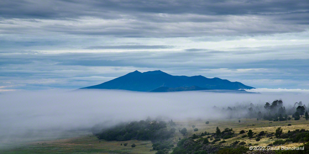
After several days of heavy rain and high dewpoints fog would form in the shallow basins. But getting photos of fog at sunrise in July means a very early start!

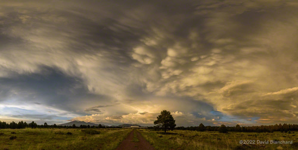
Maybe August will be better. The photo above is a sunset panorama (10 images stitched together) taken on the first day of August.